RĪPA, 2022 +
Ri·par·i·an (adjective): A riparian zone or riparian area is the interface between land and a river or stream.
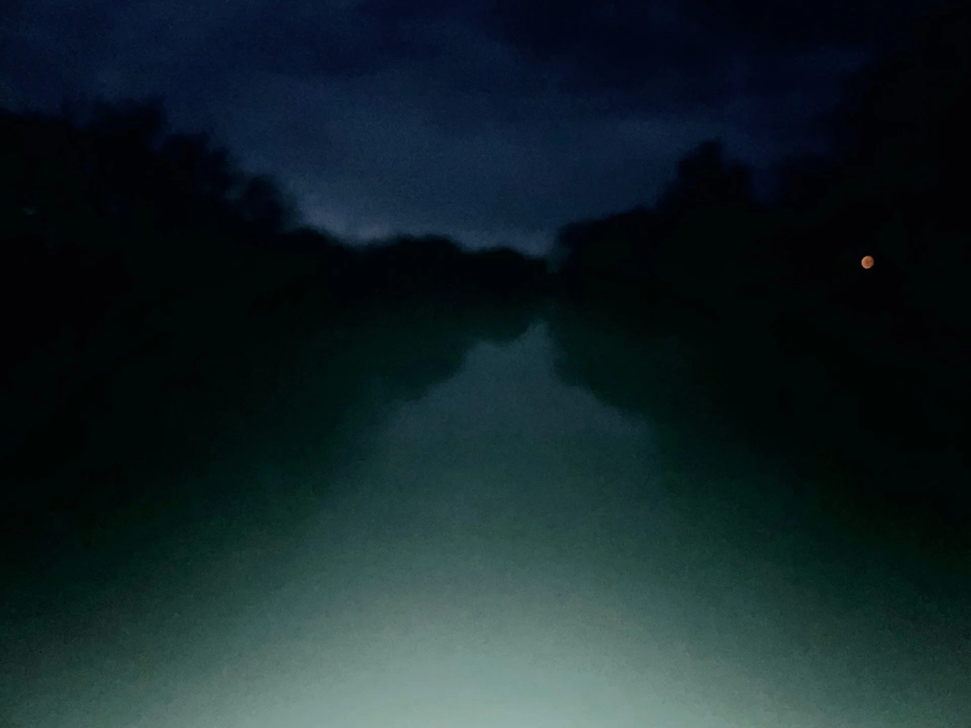
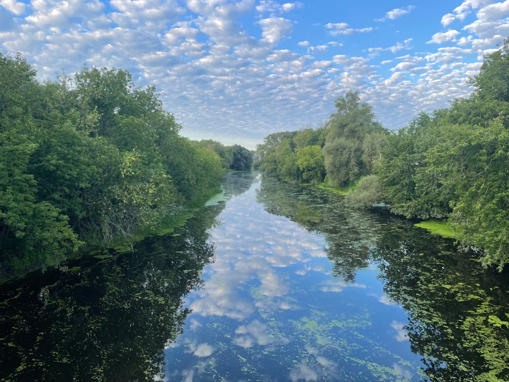
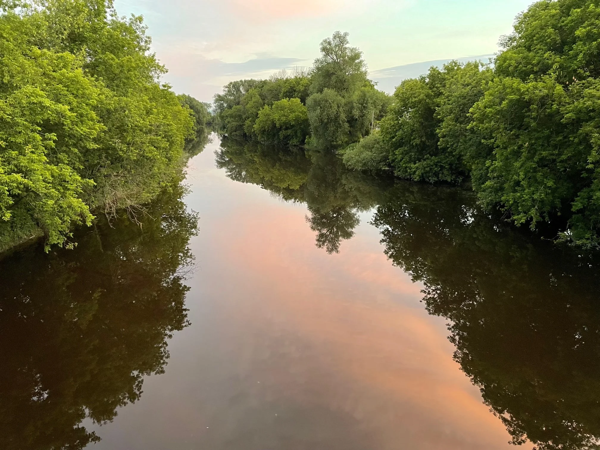
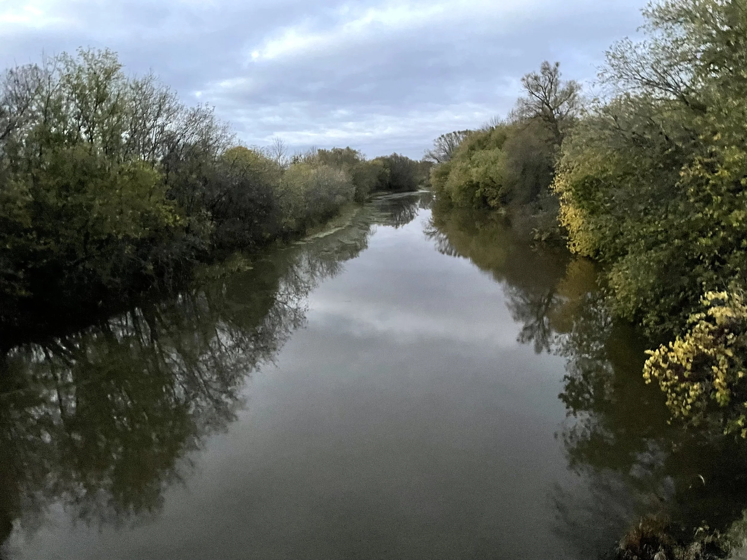
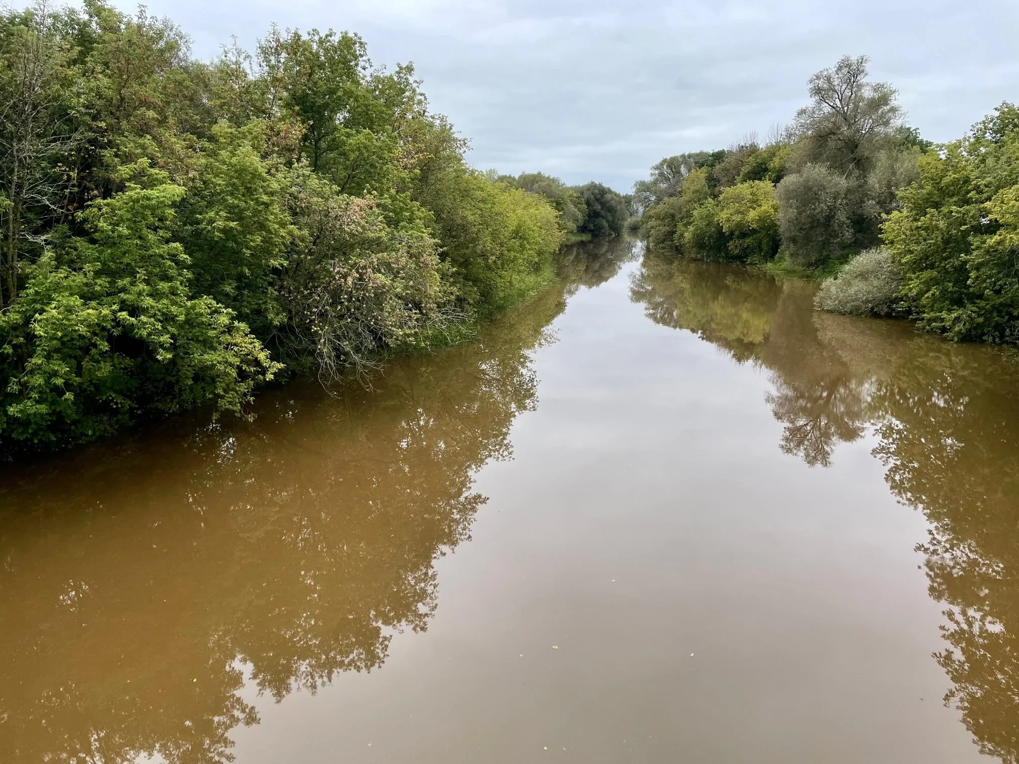
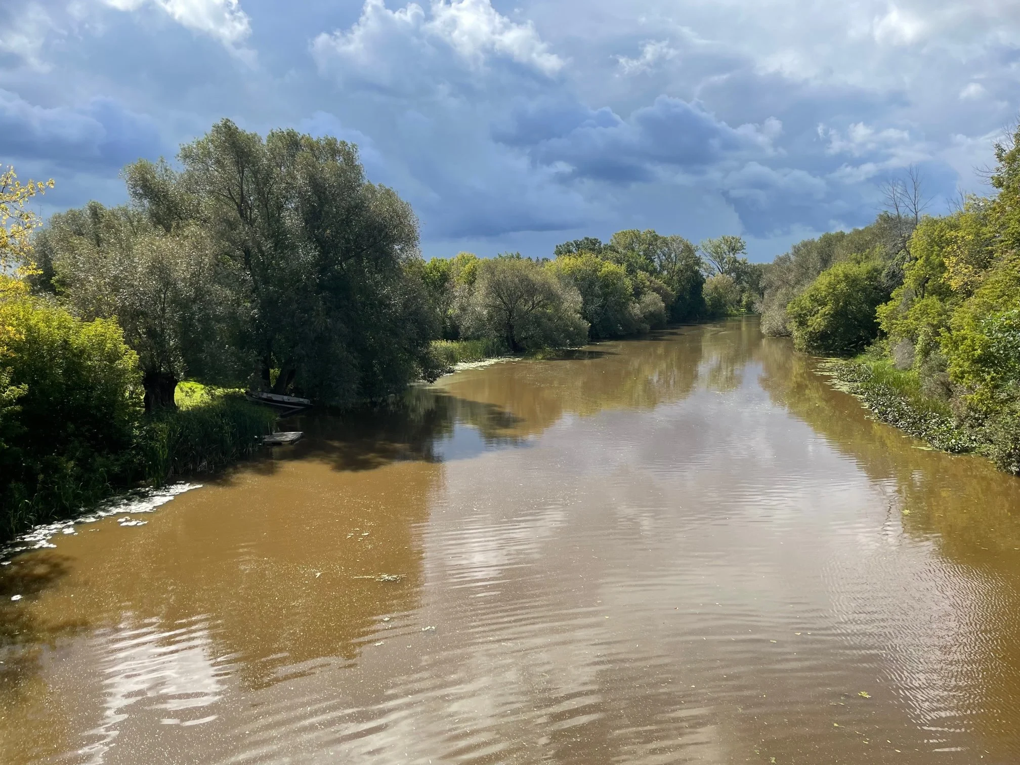
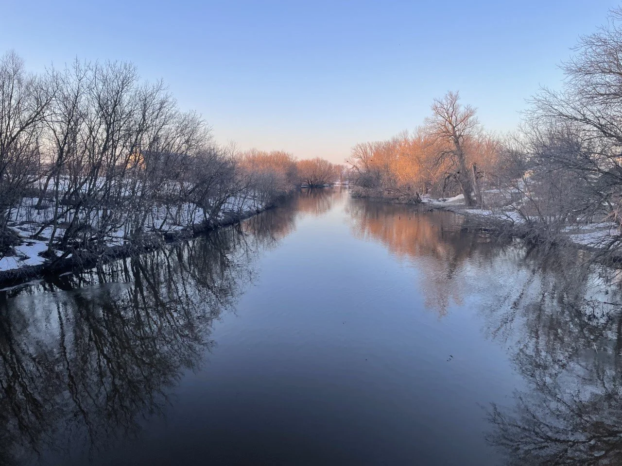
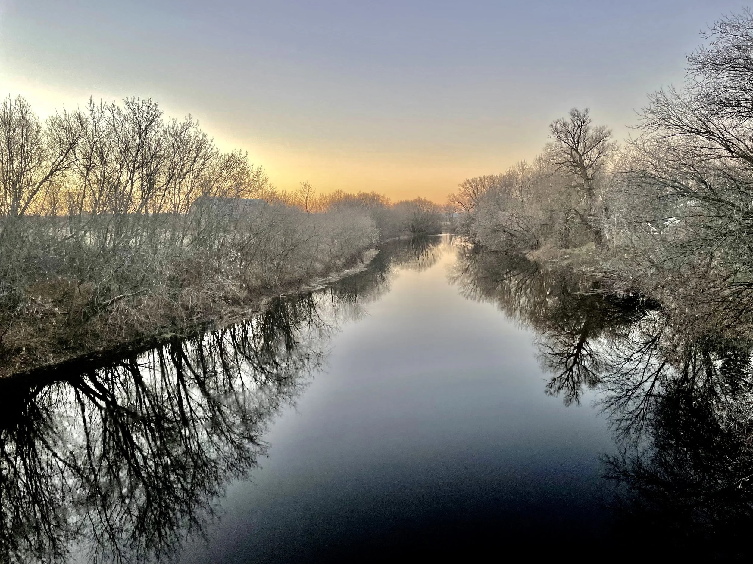
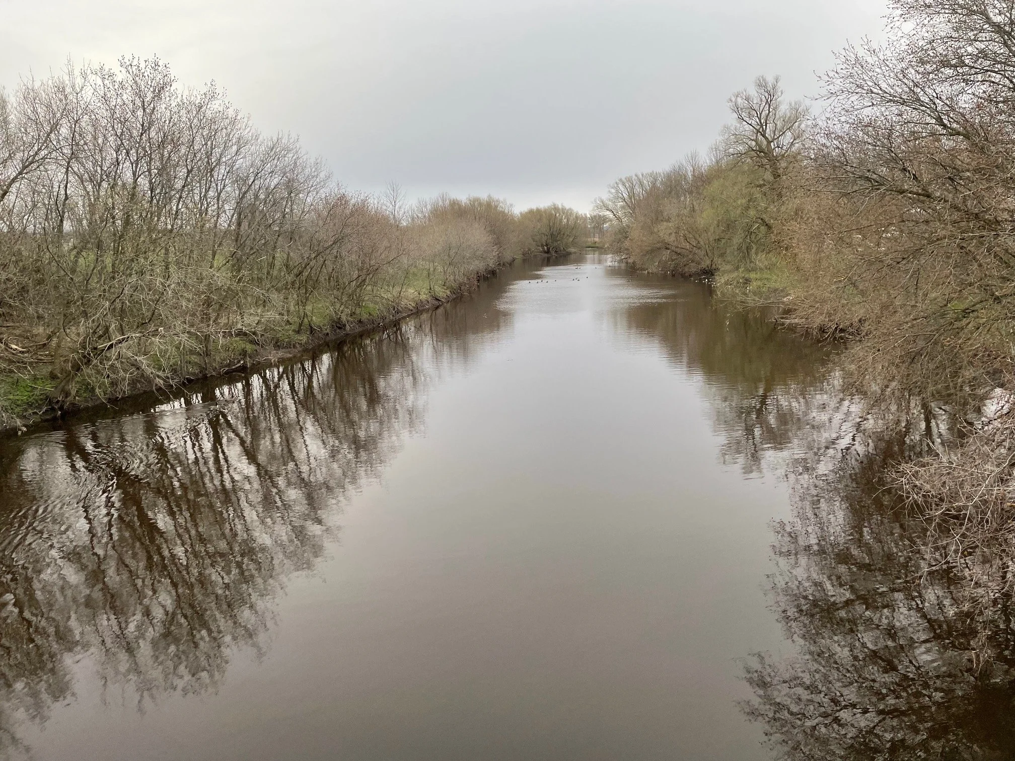
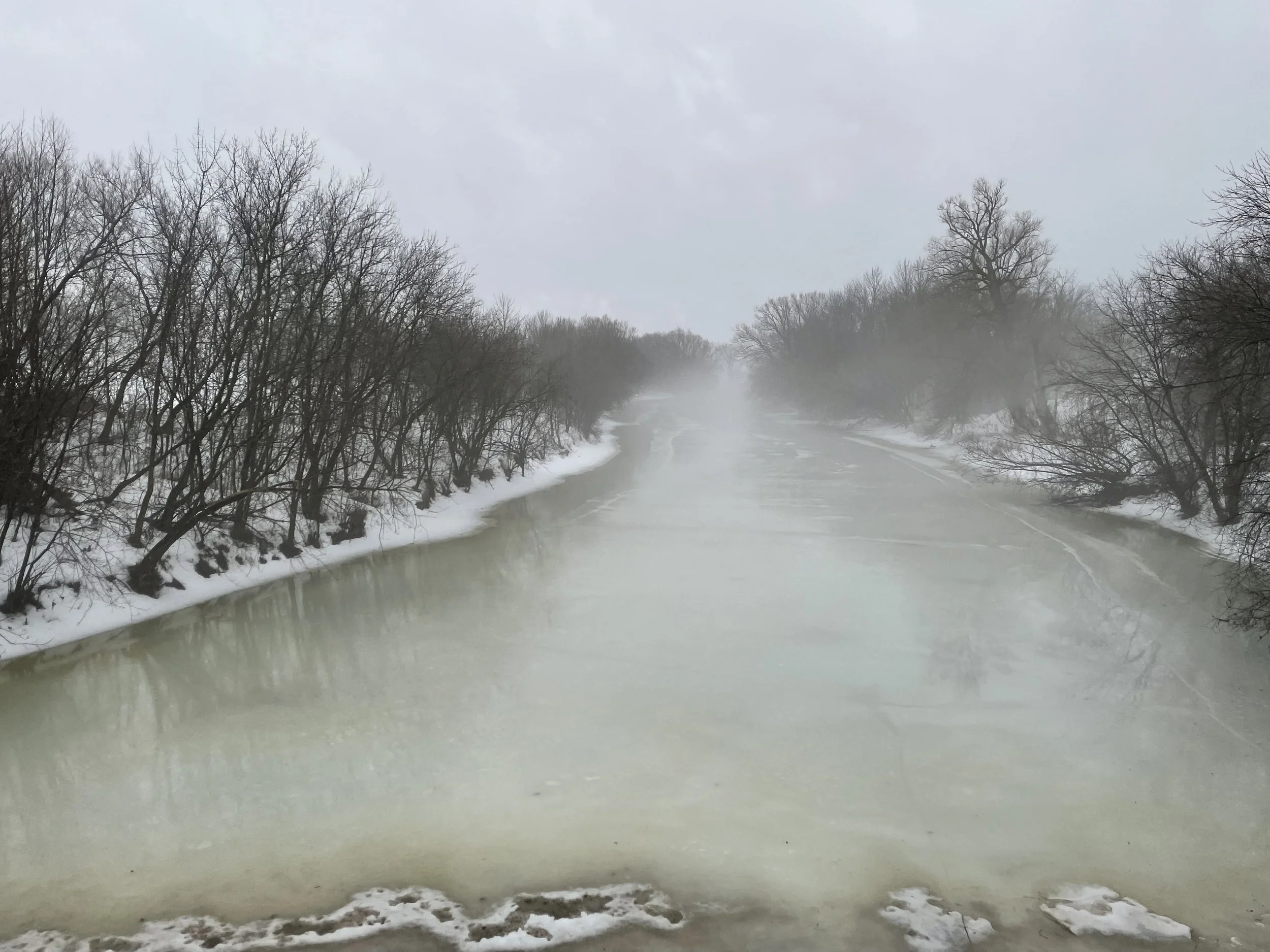
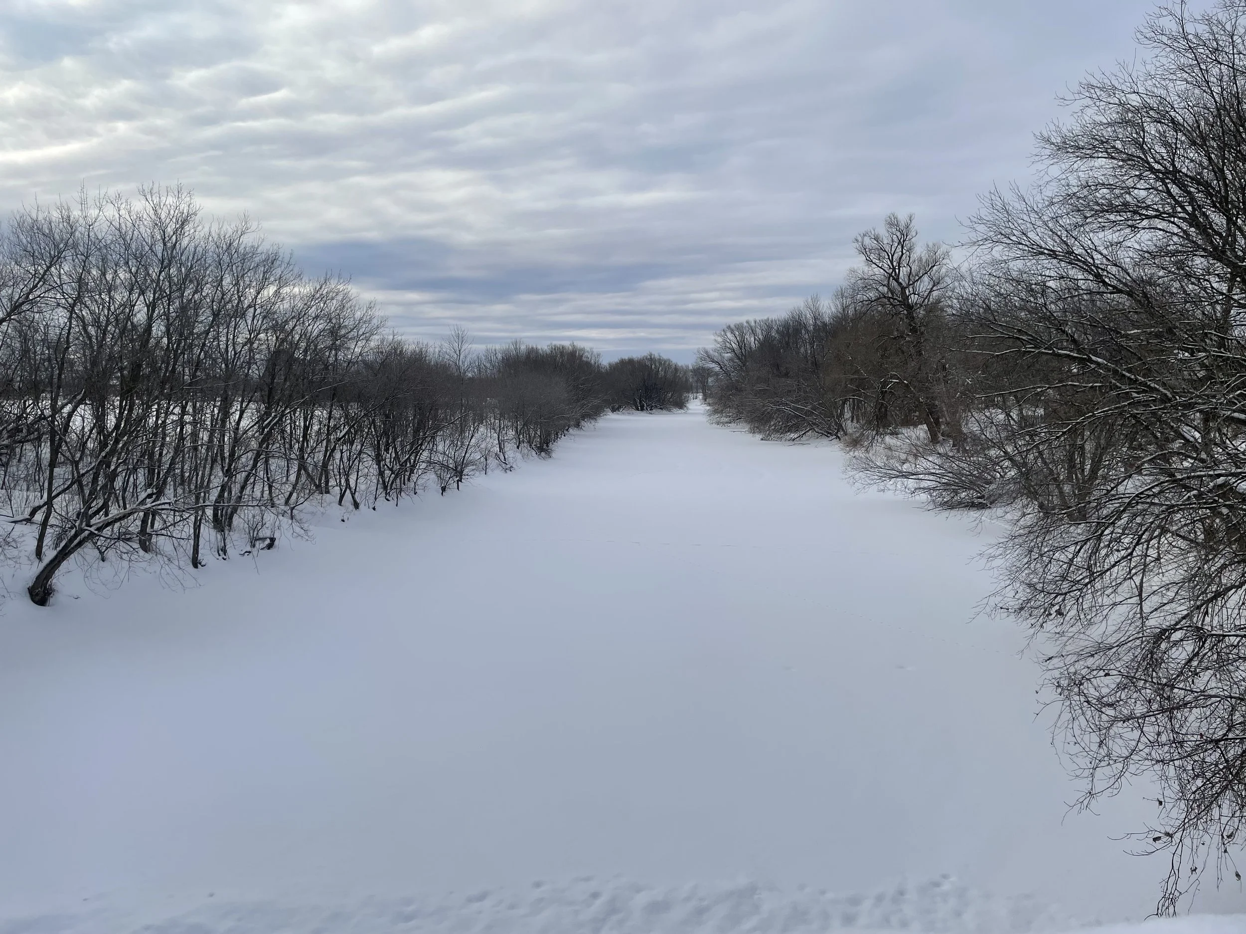
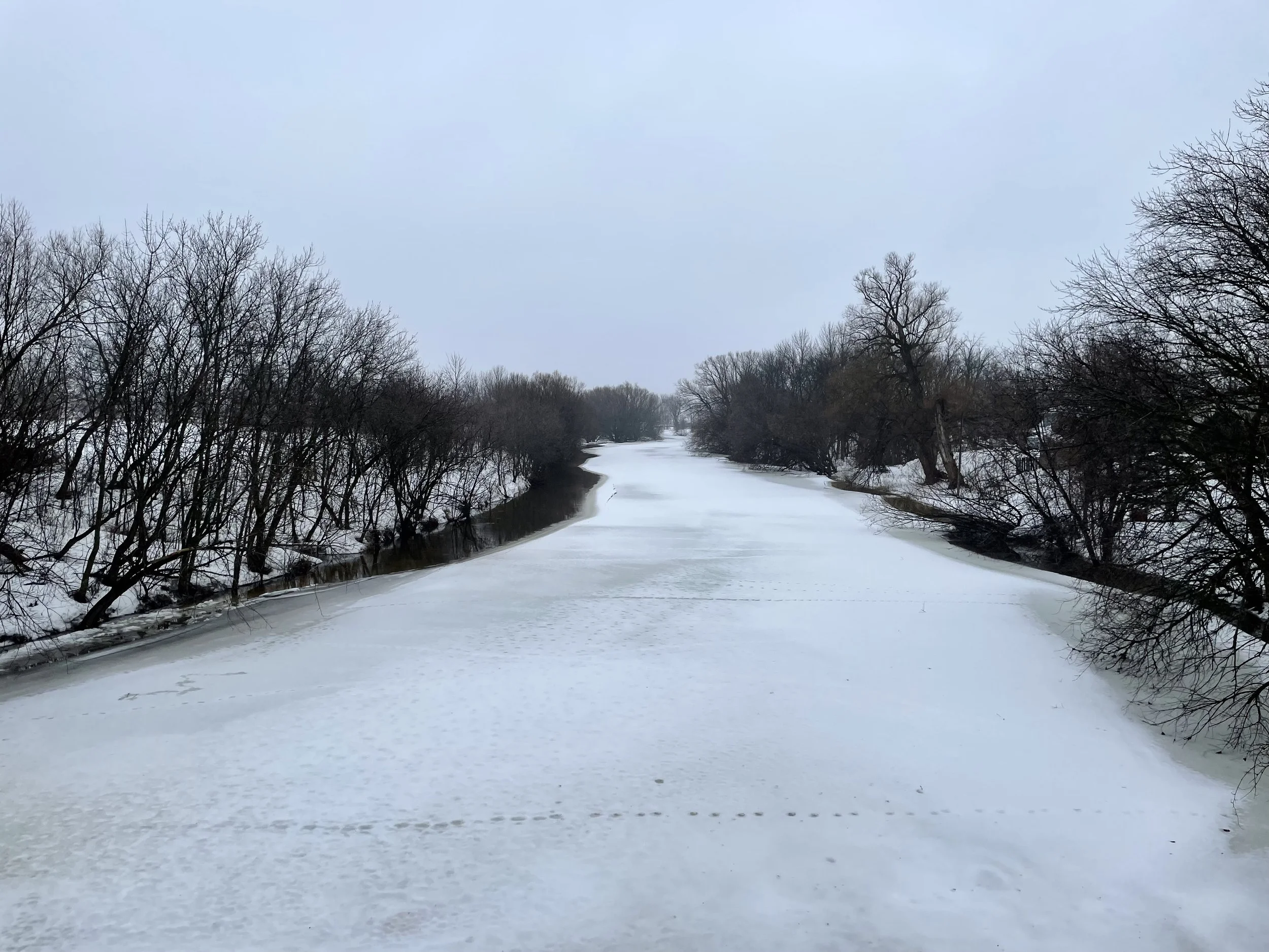
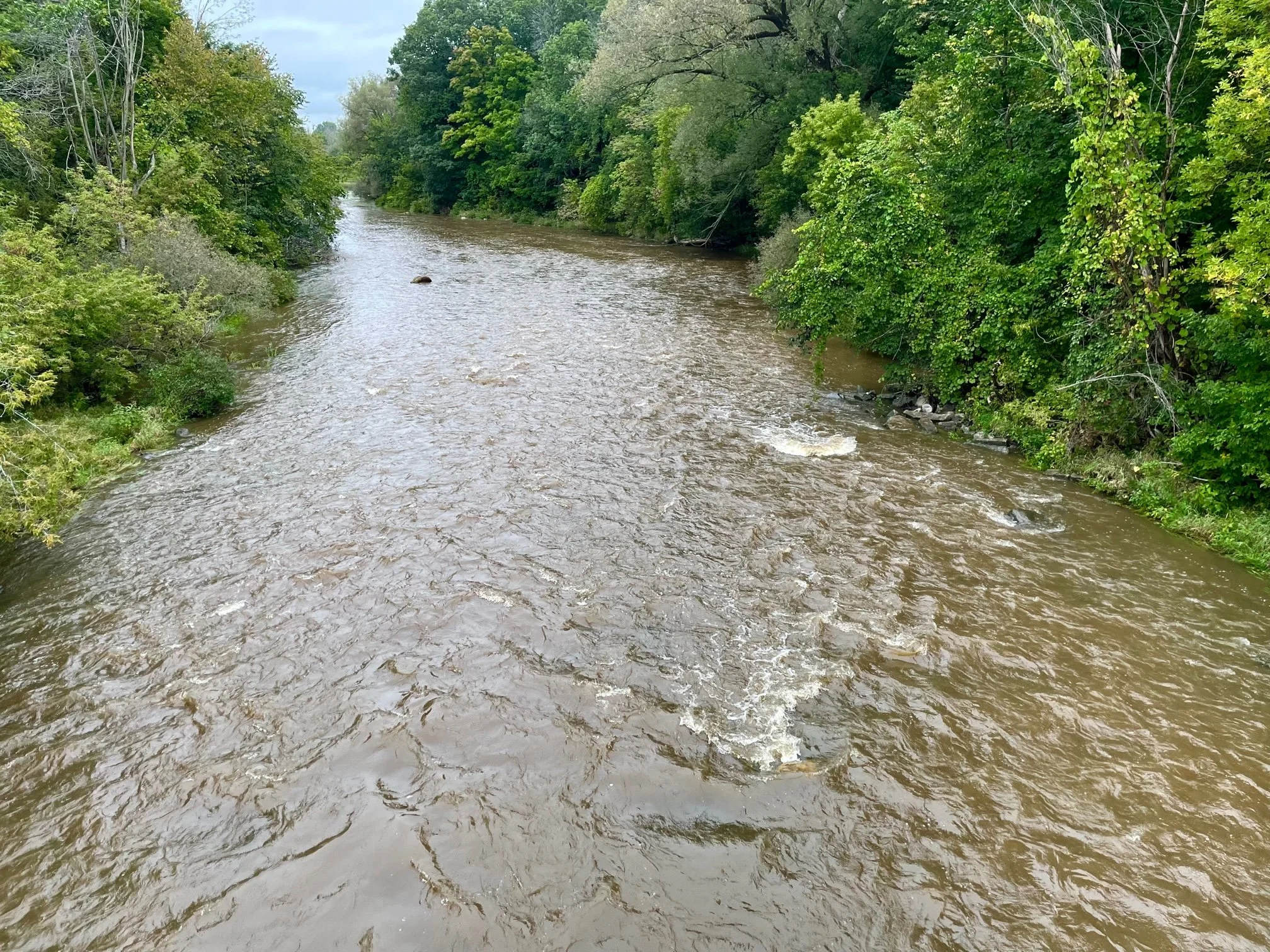
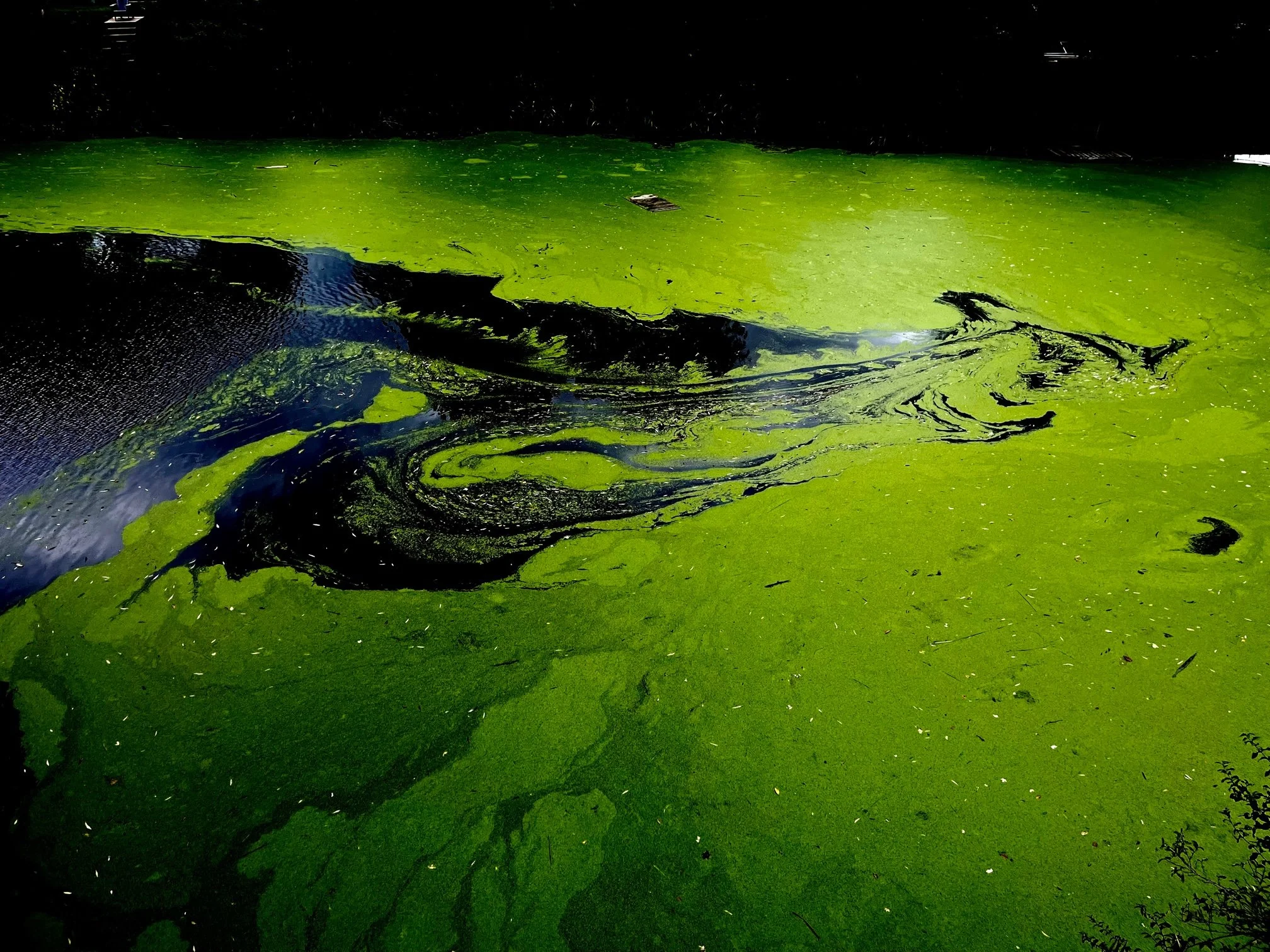
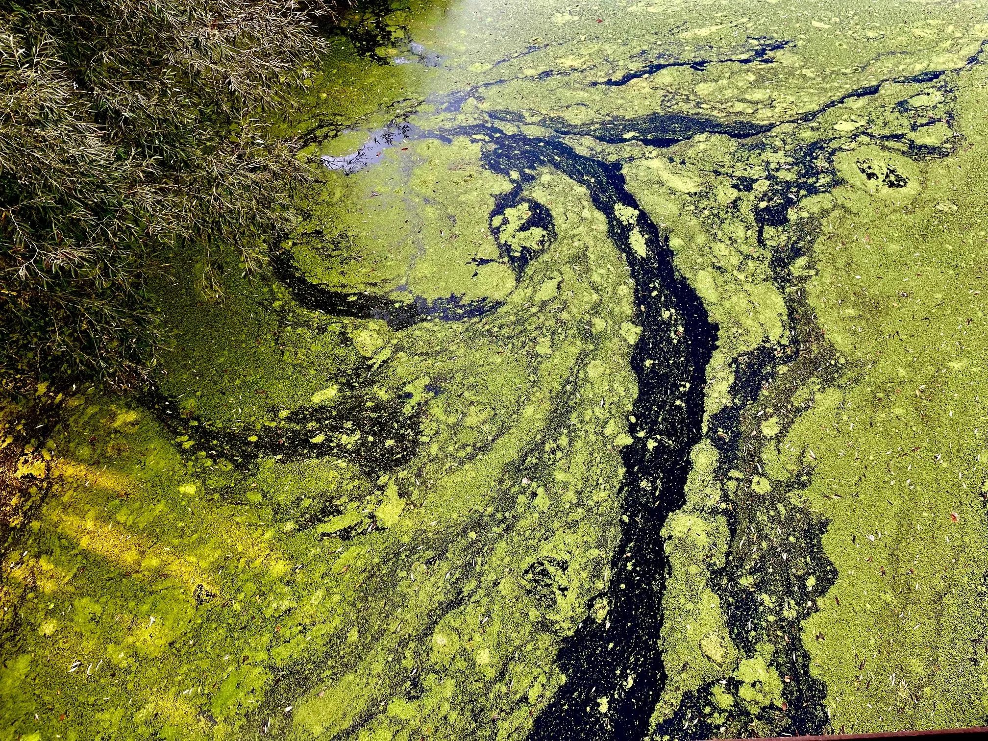
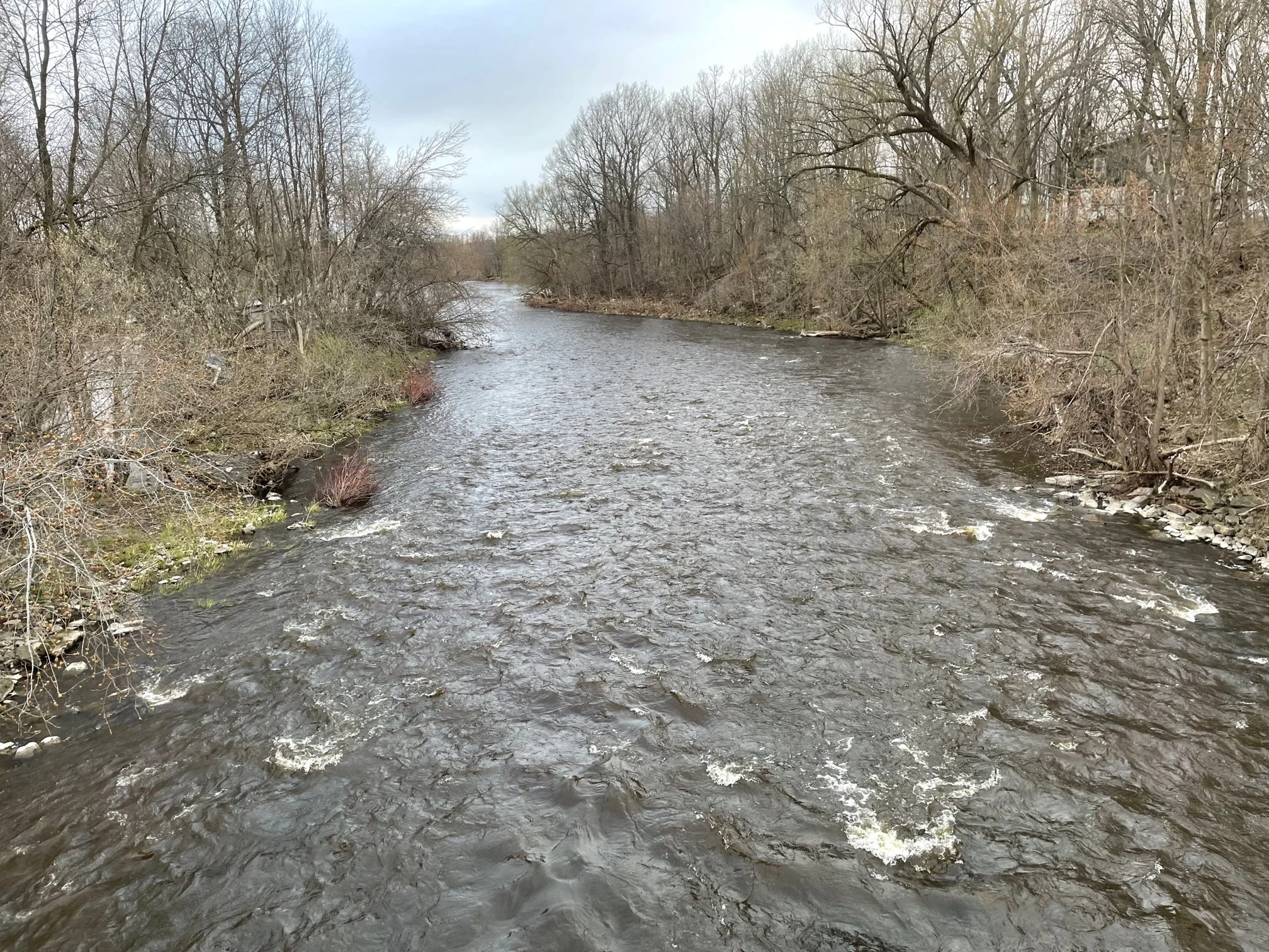
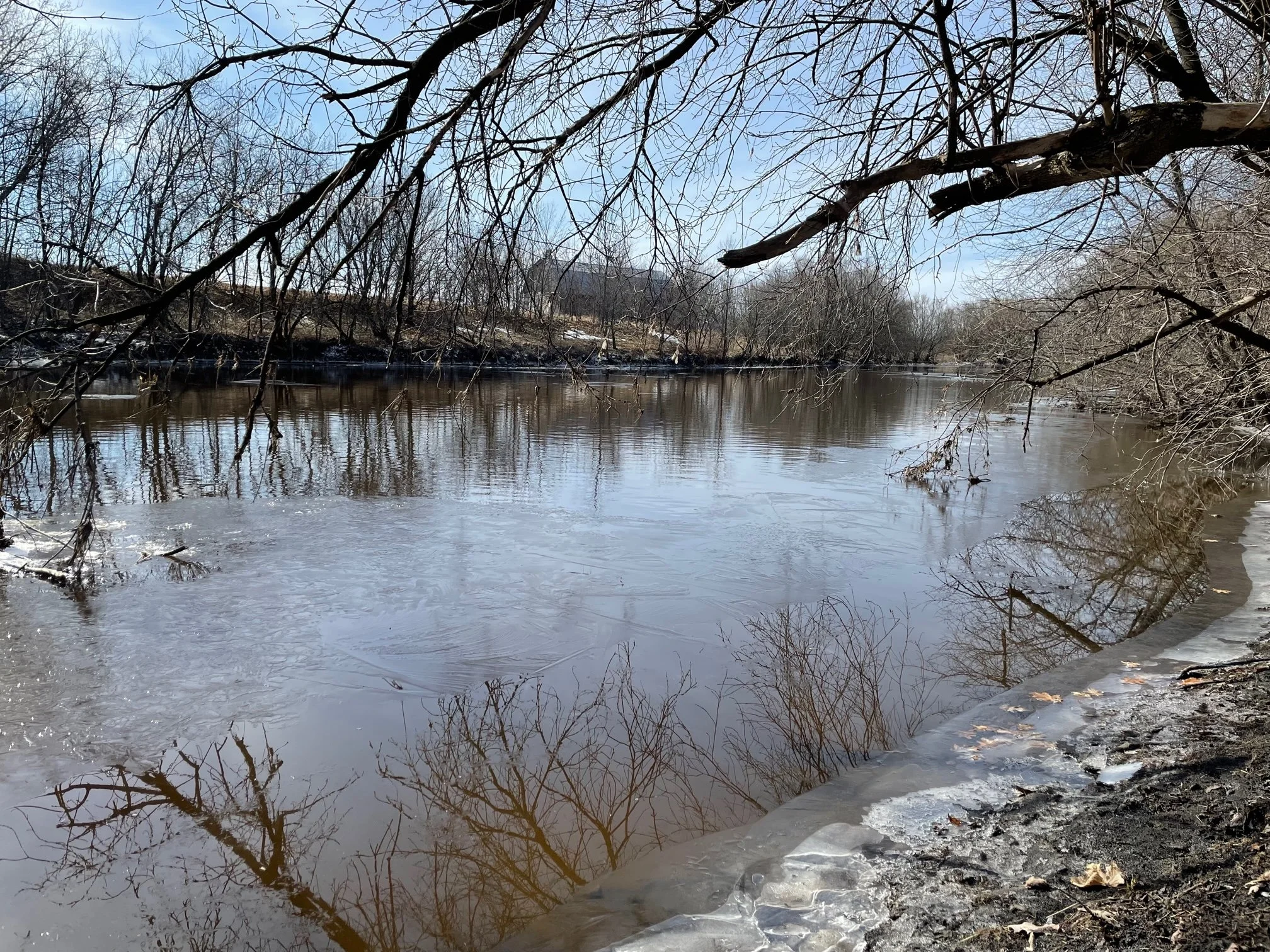
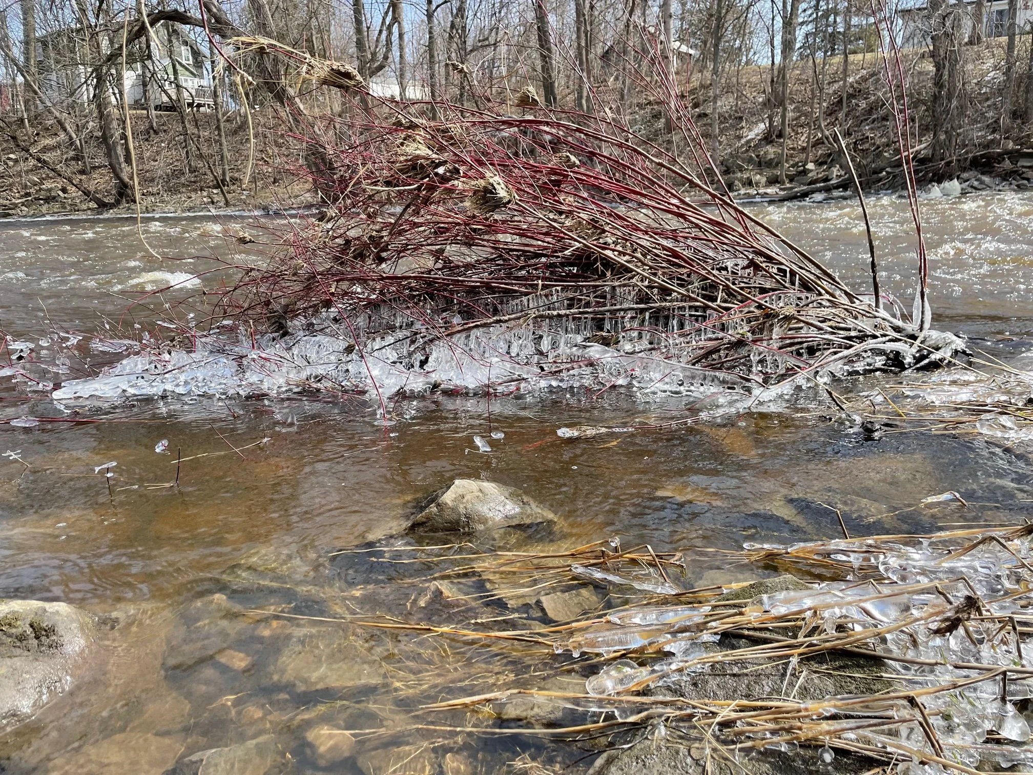
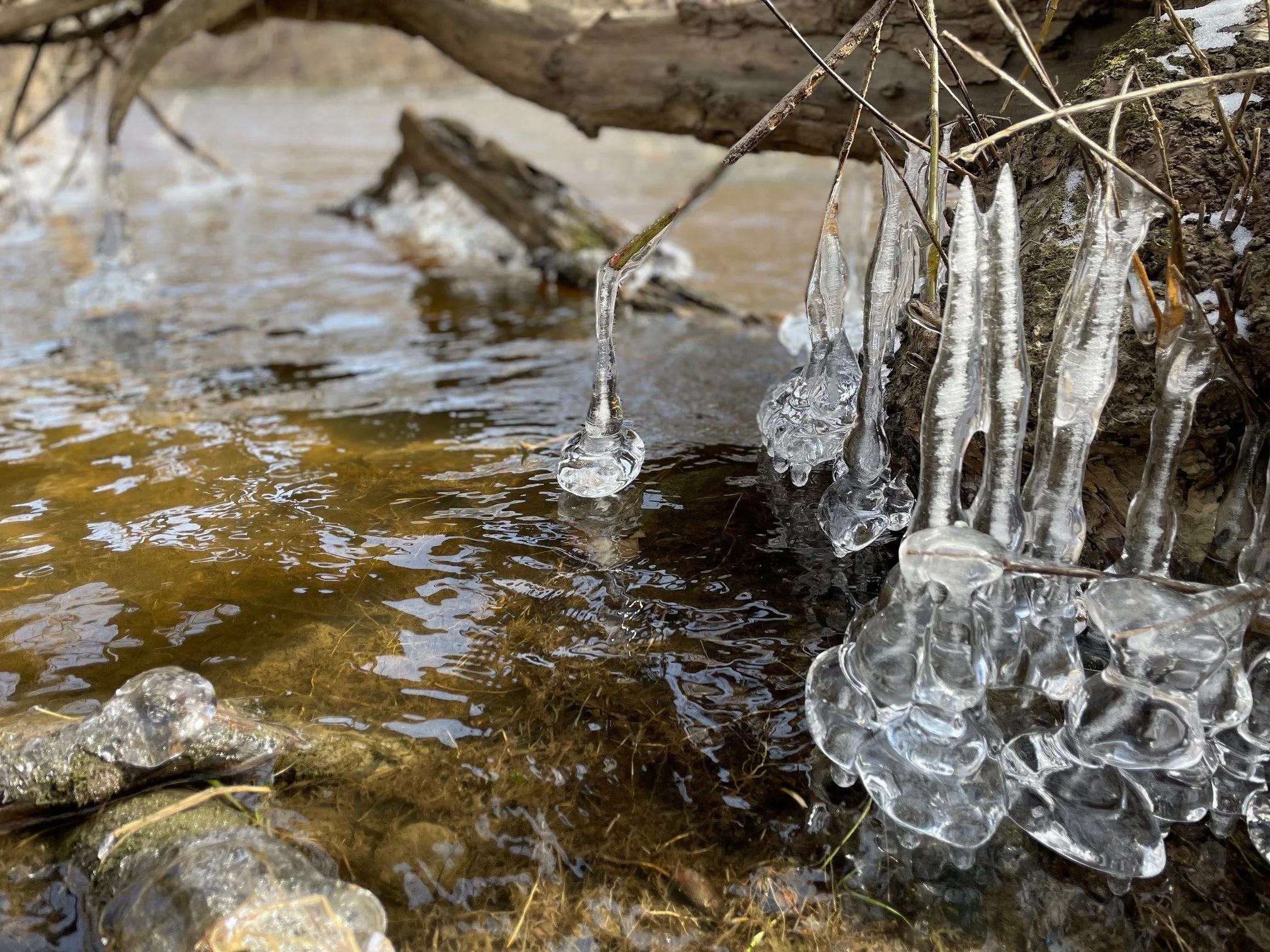
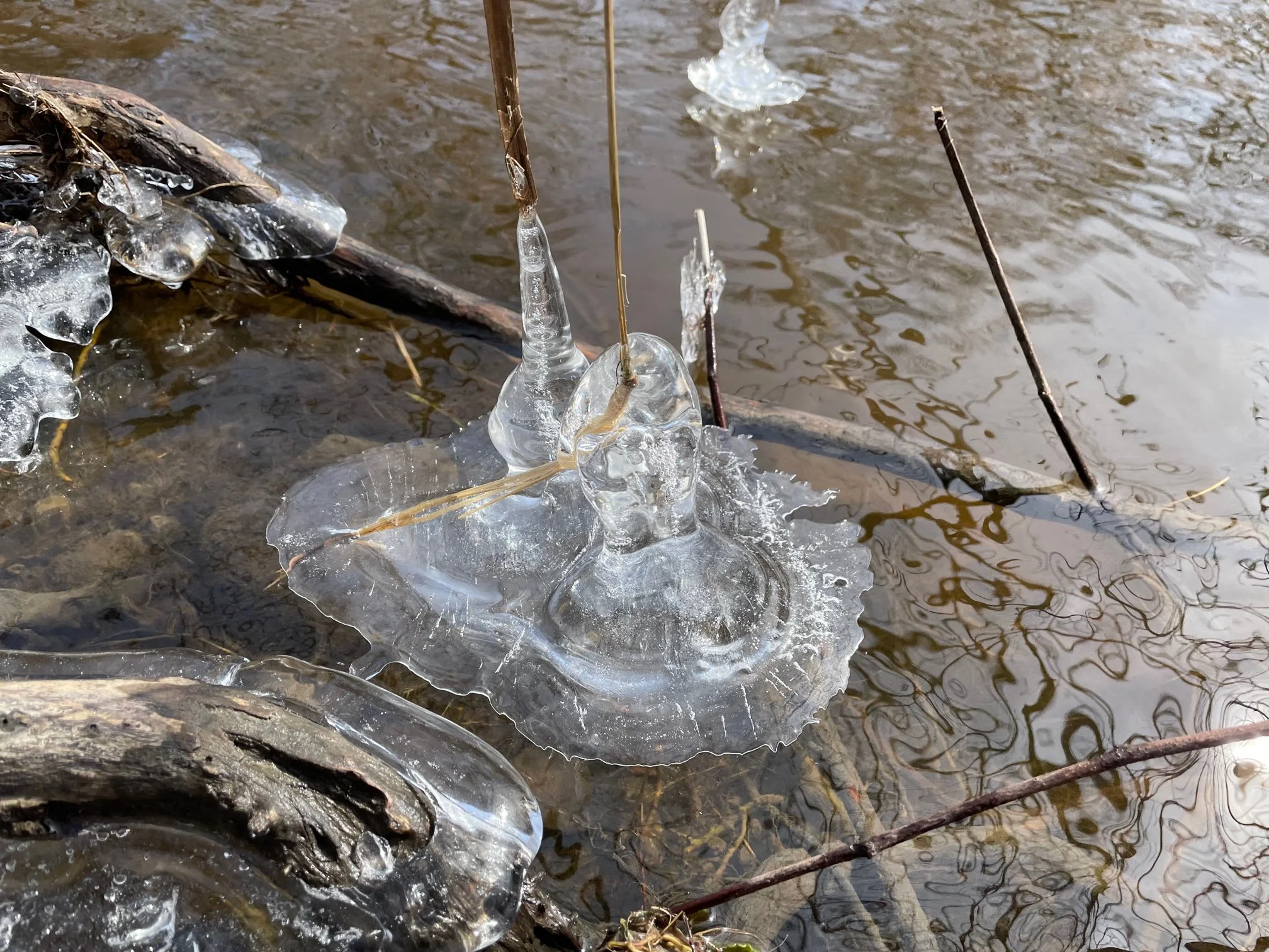
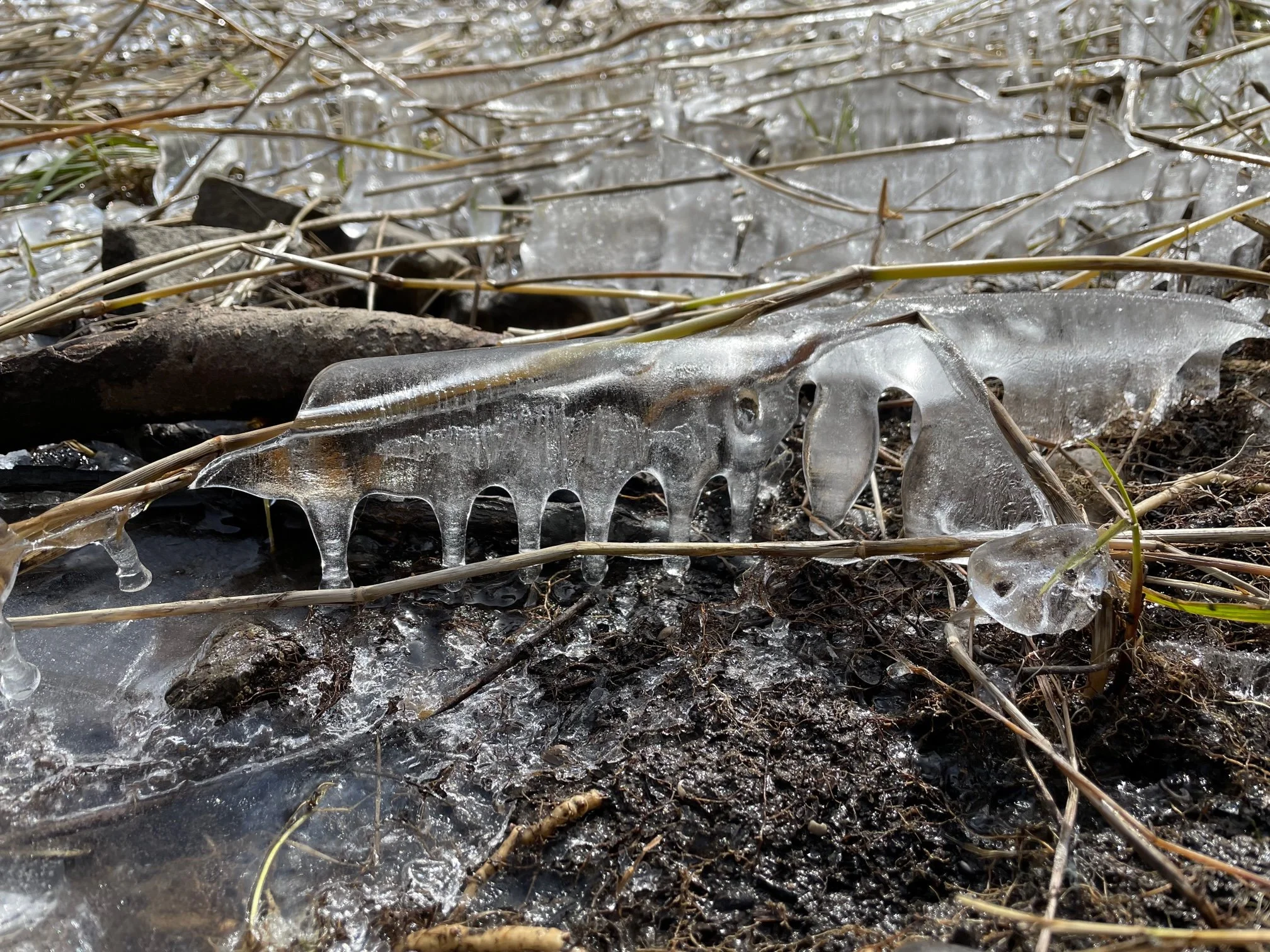
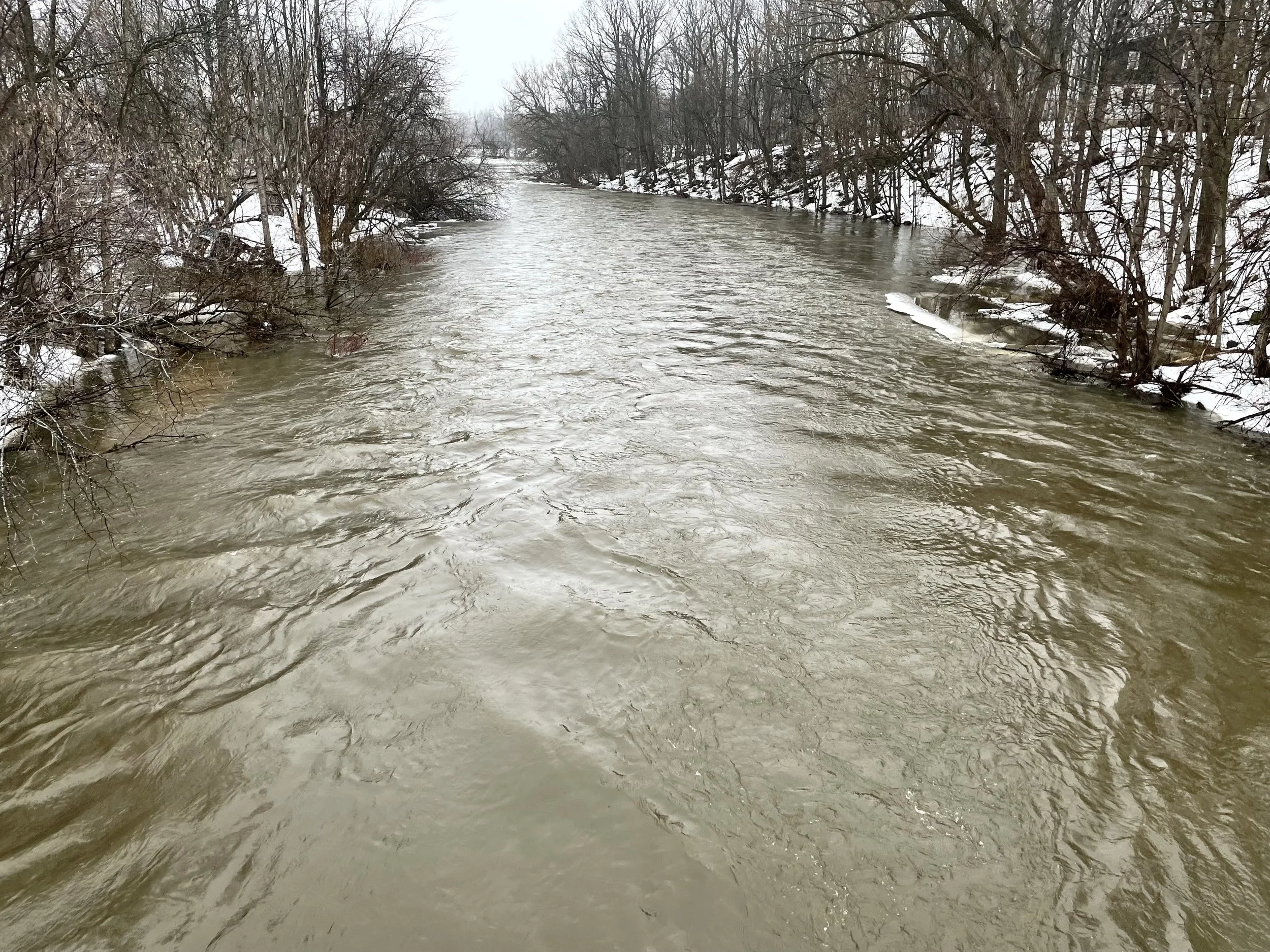
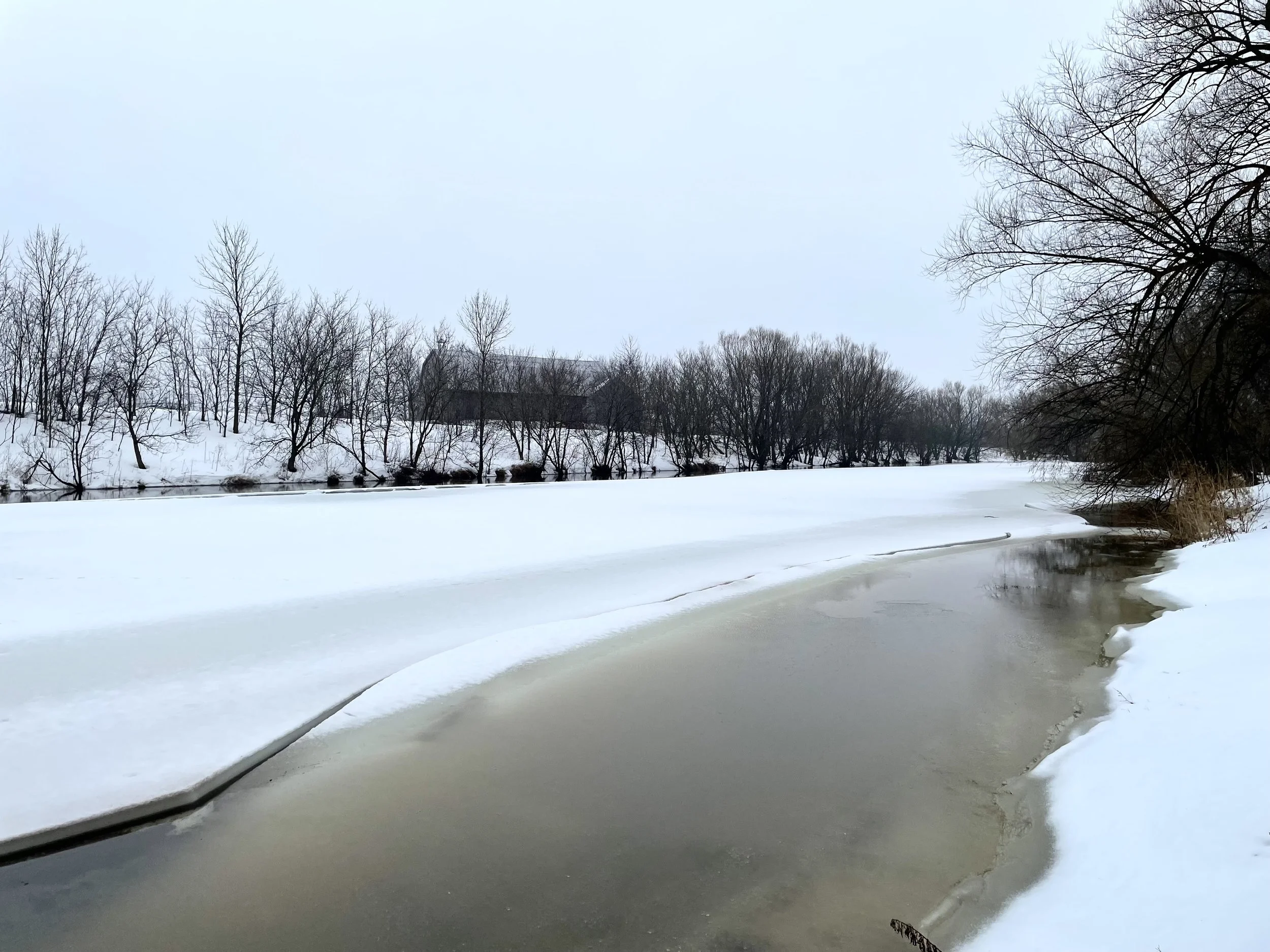
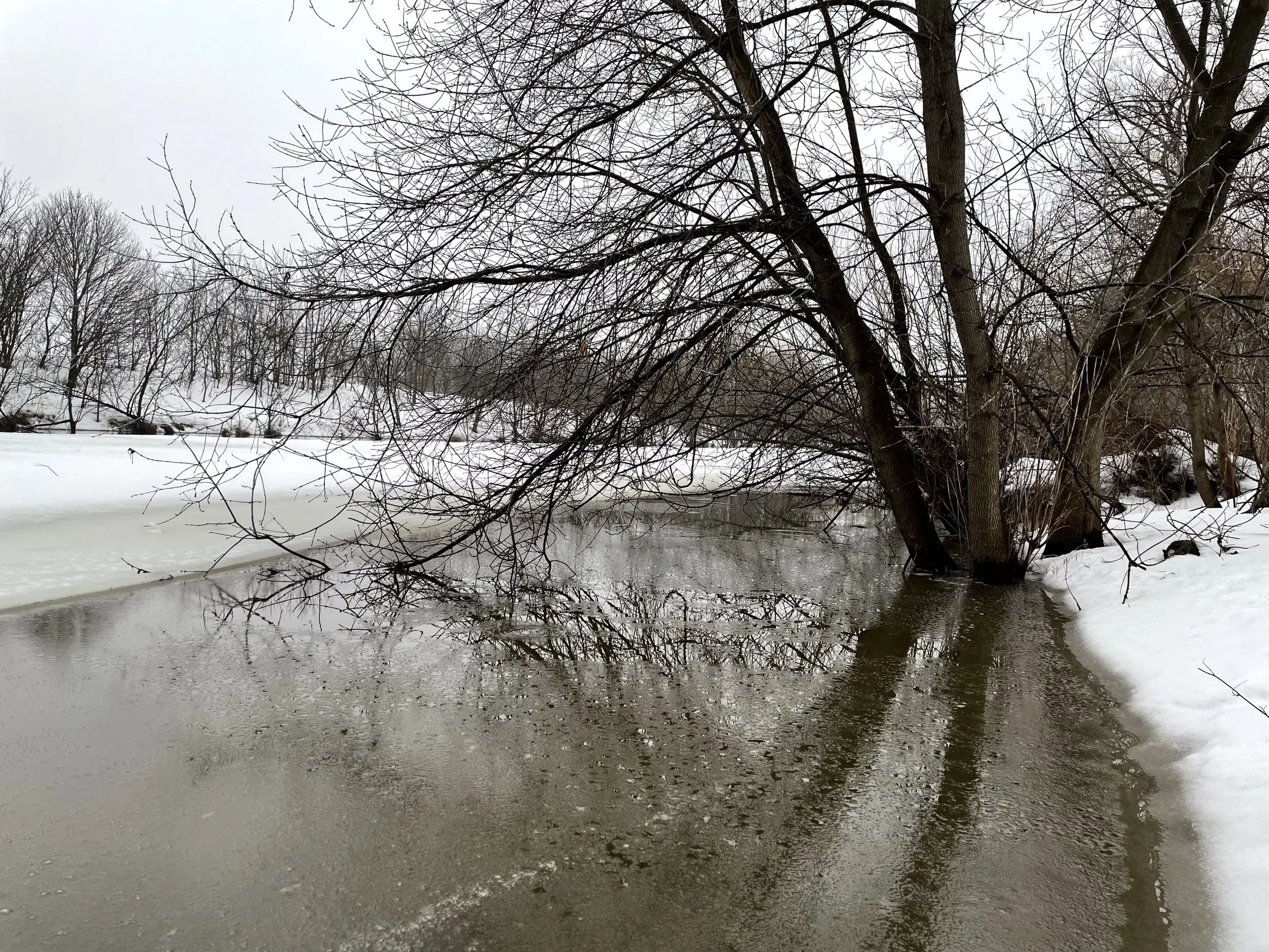
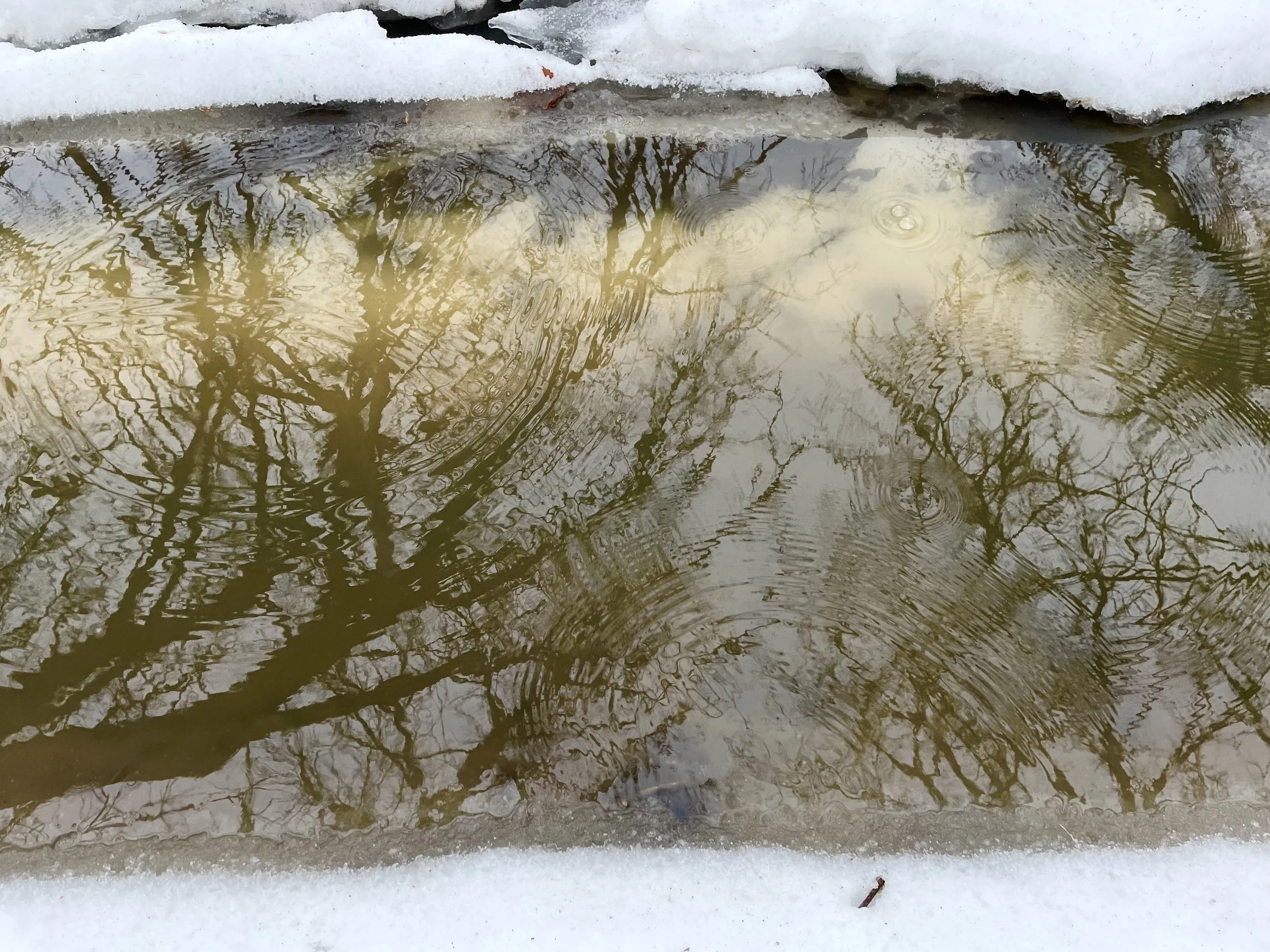
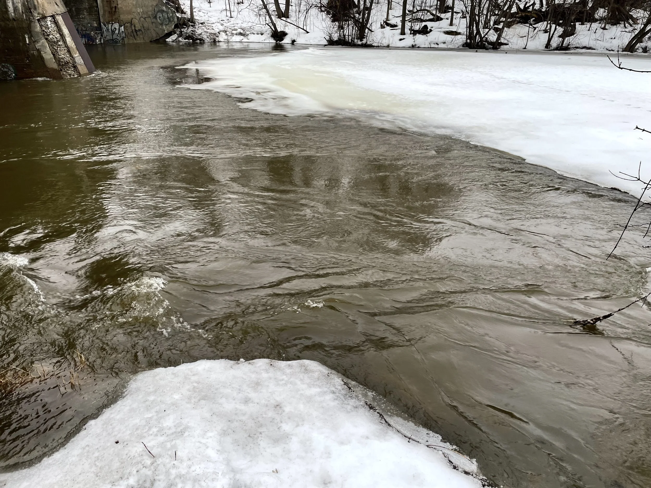
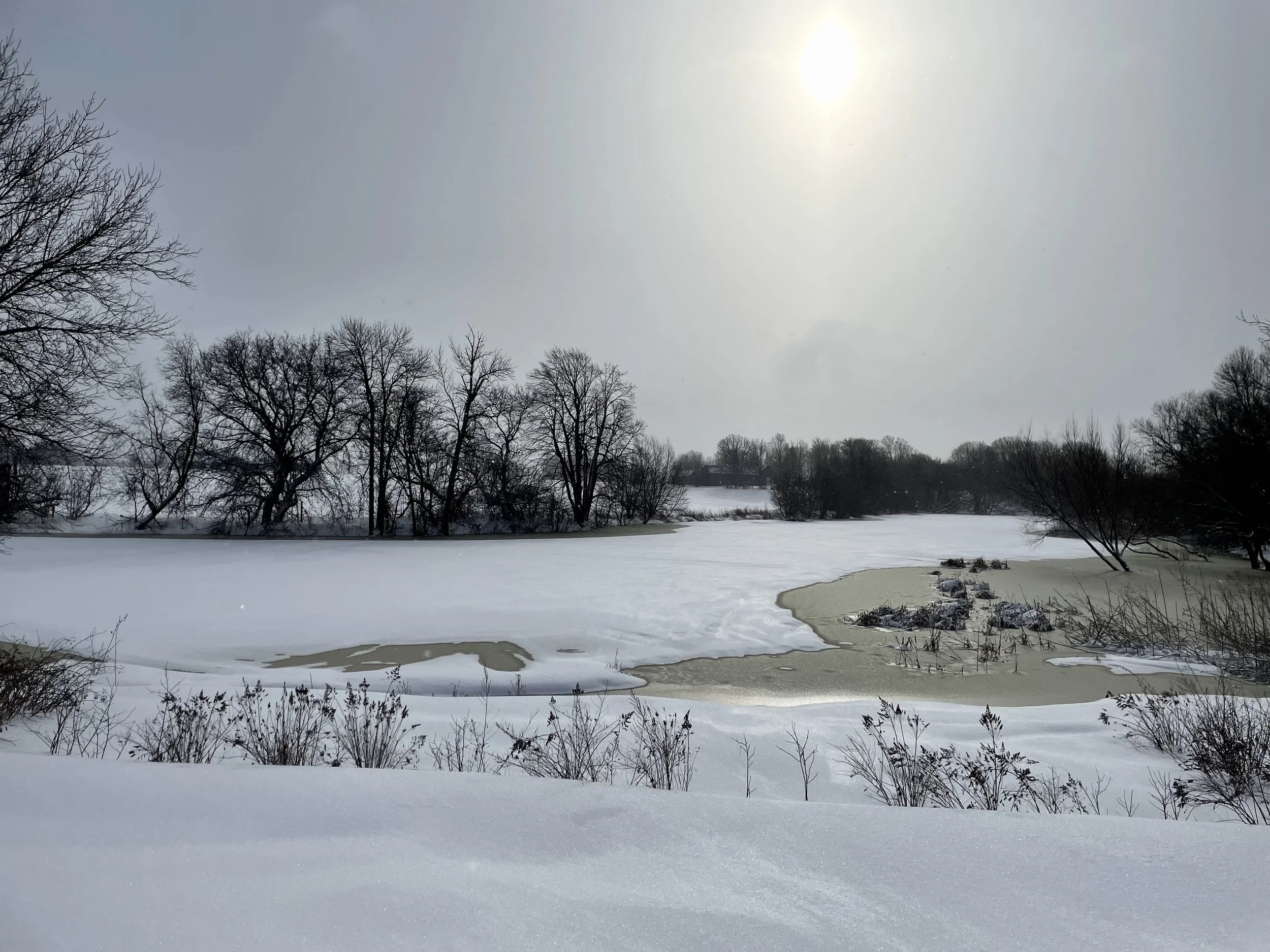
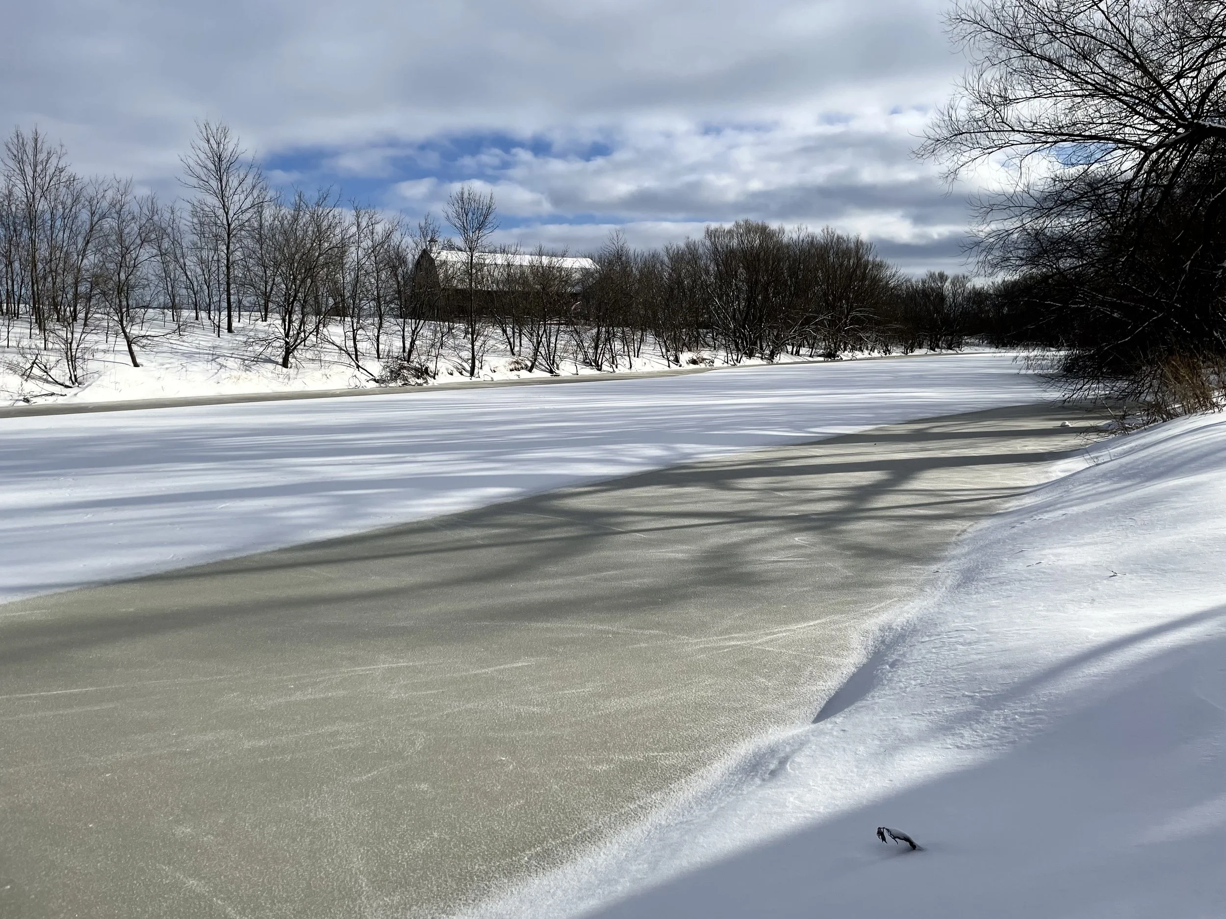
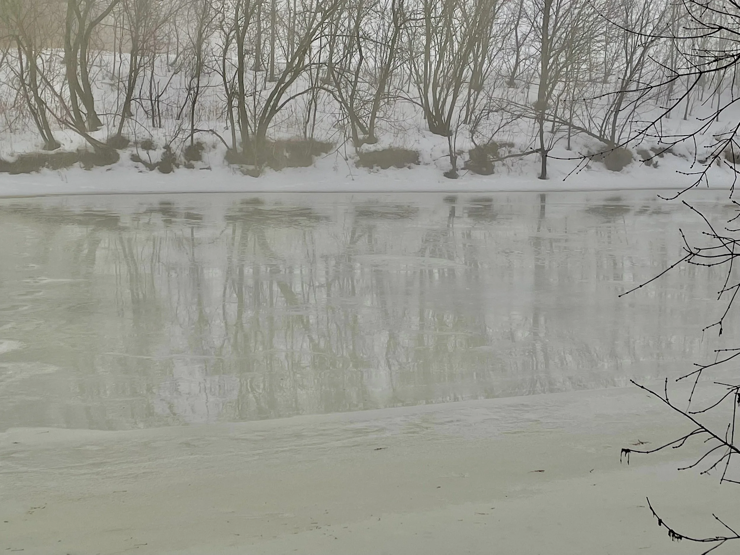
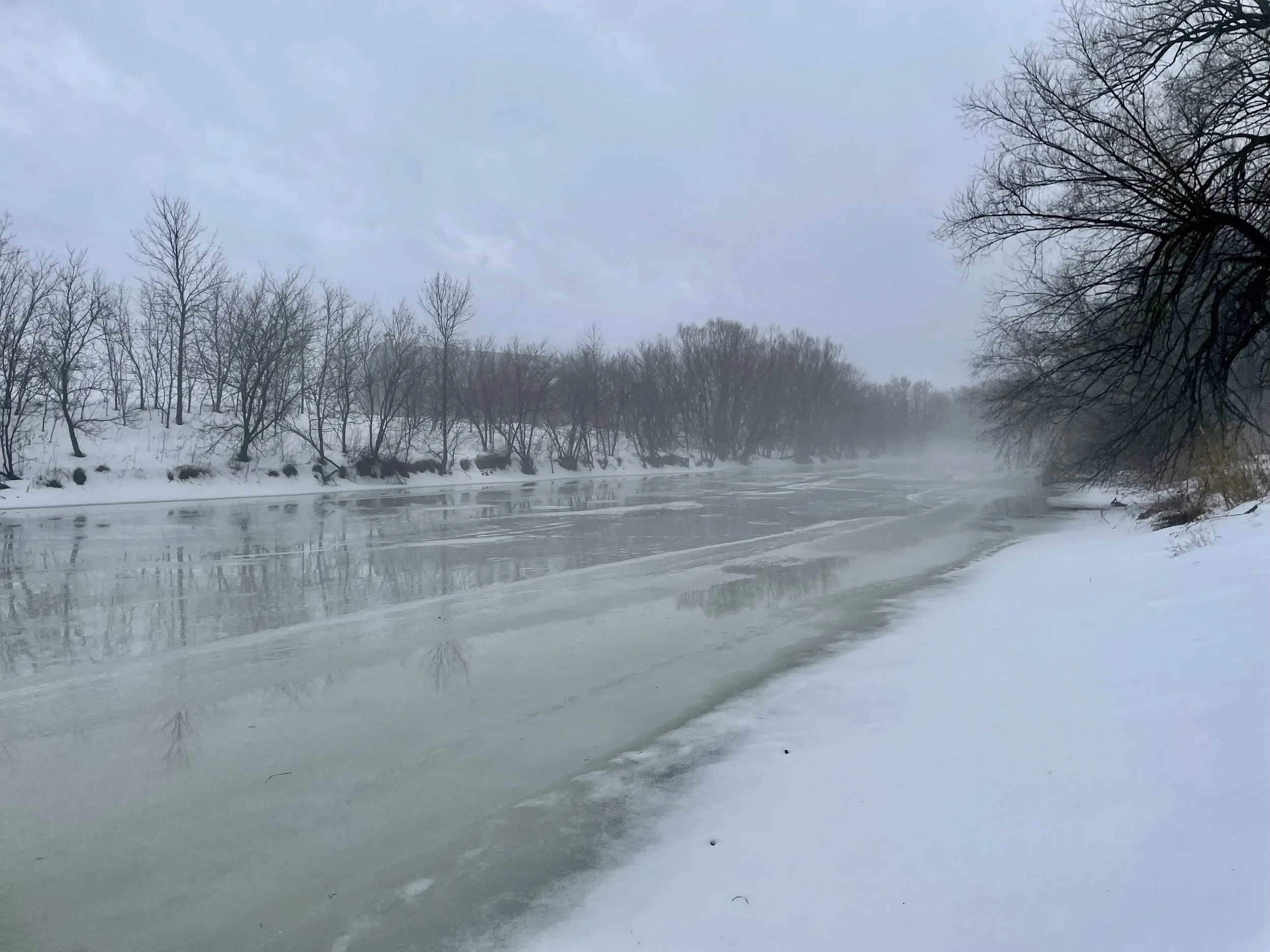
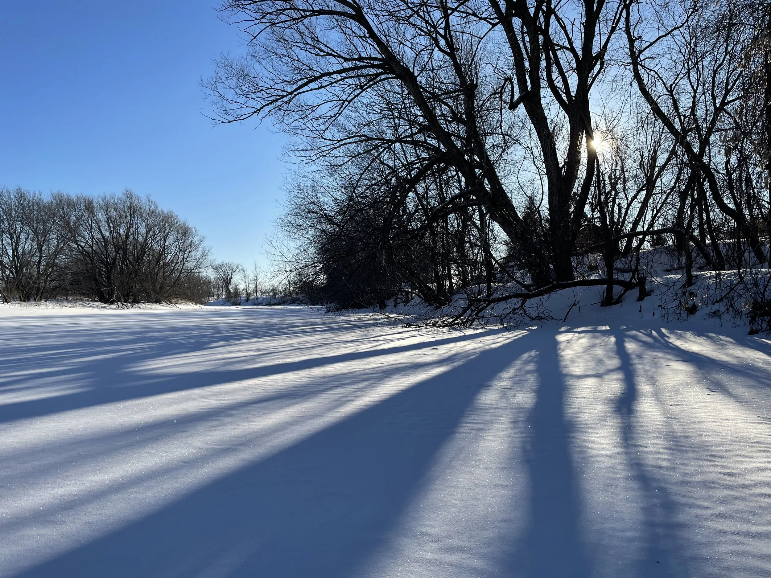
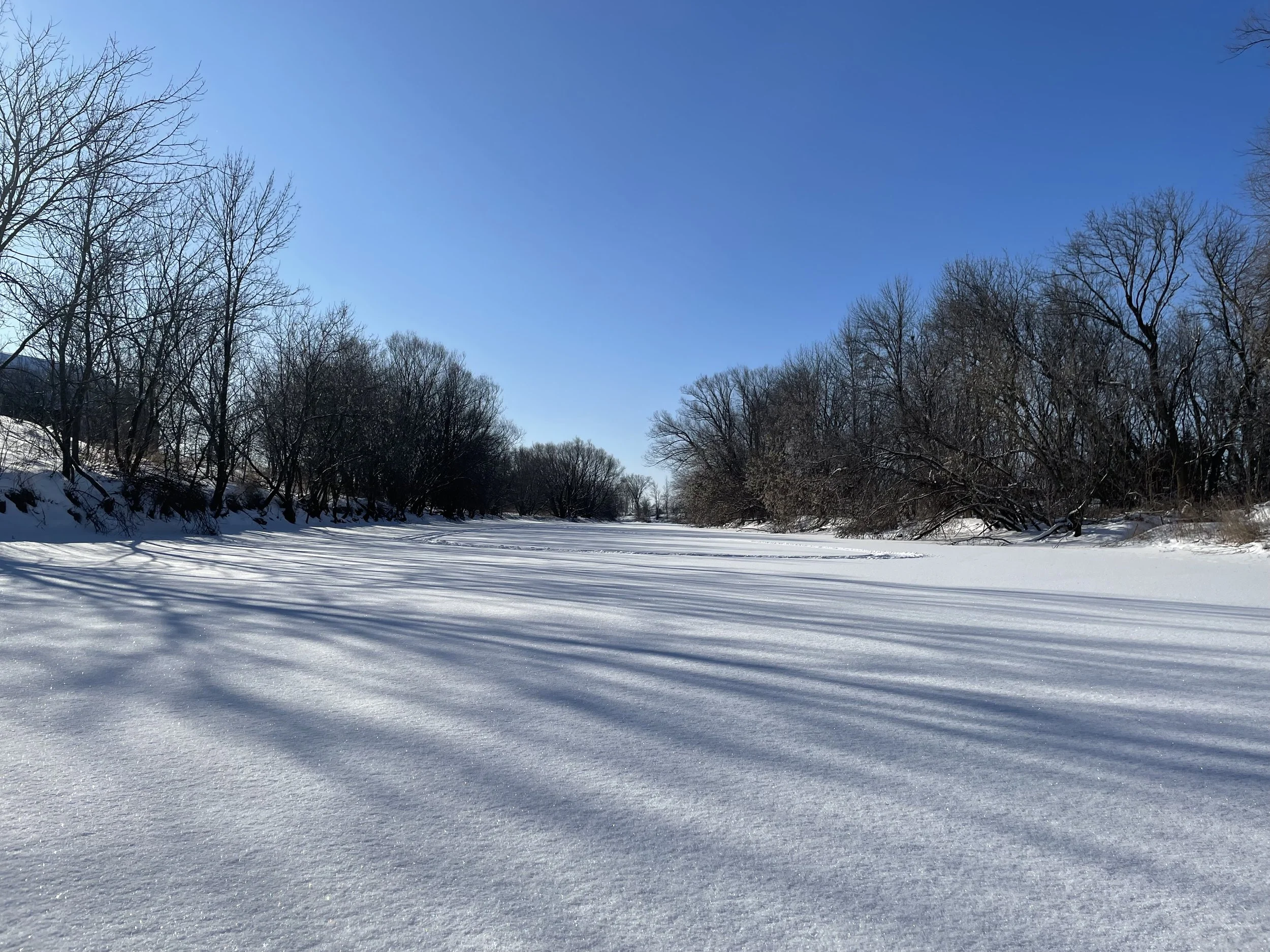
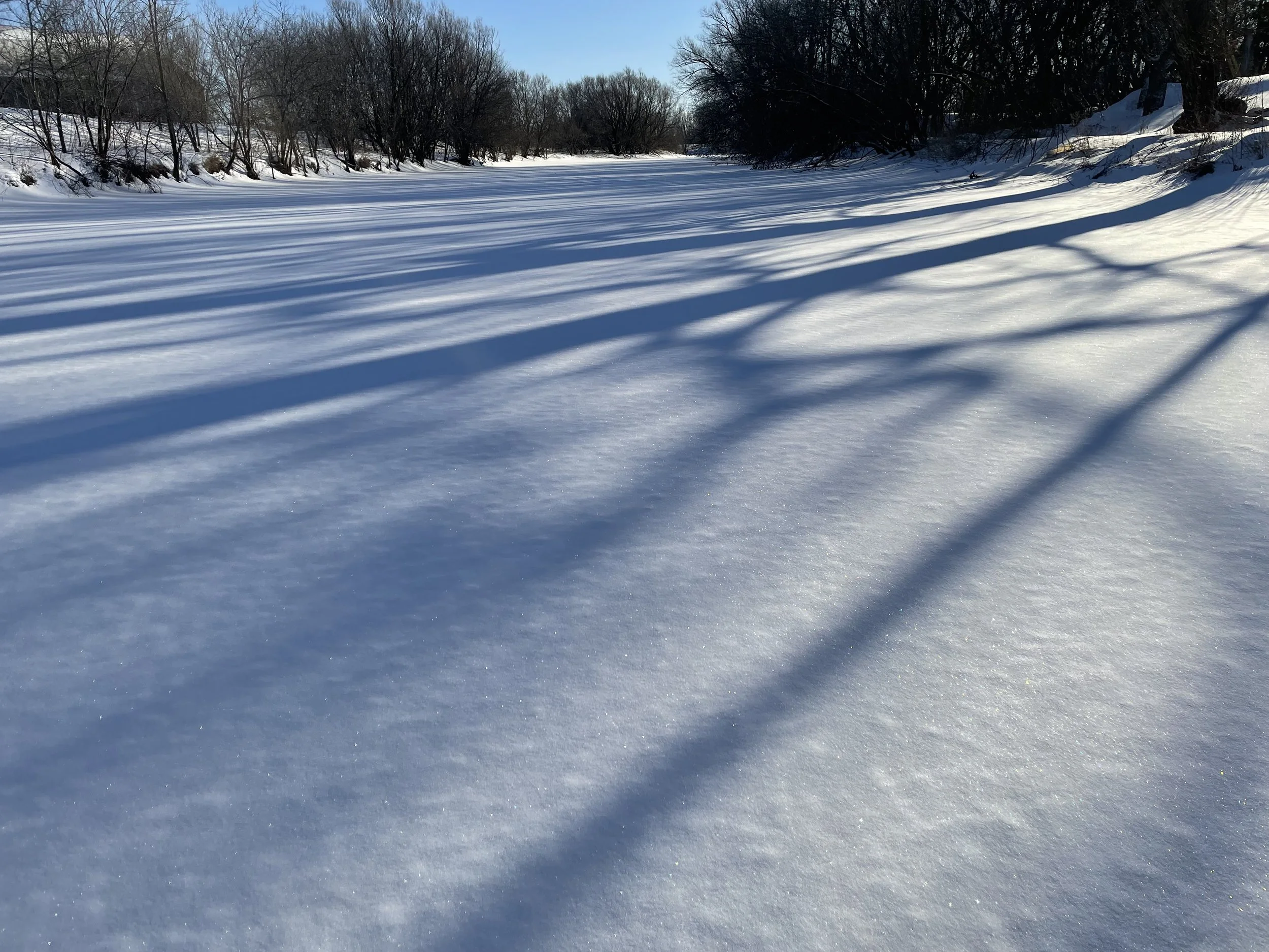
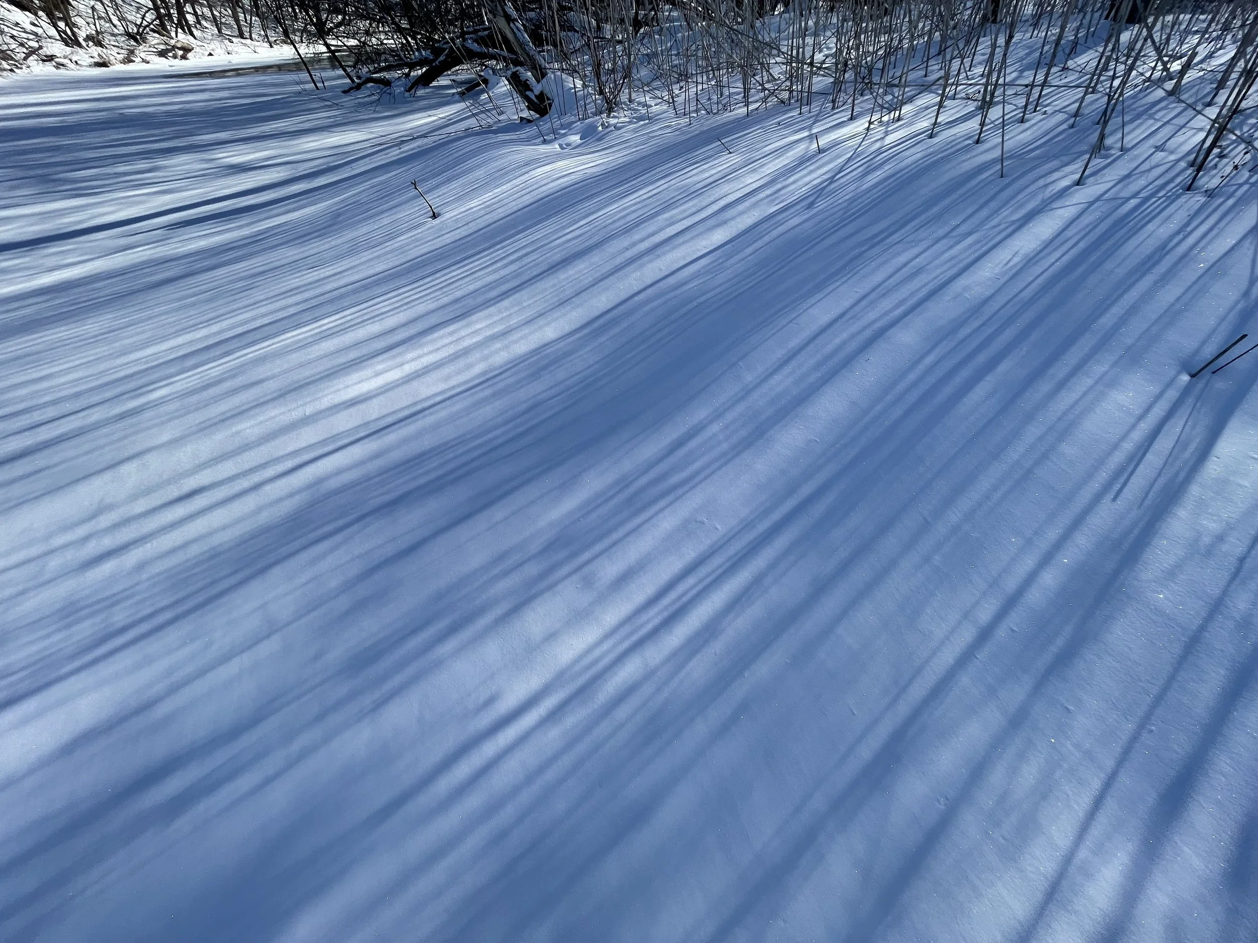
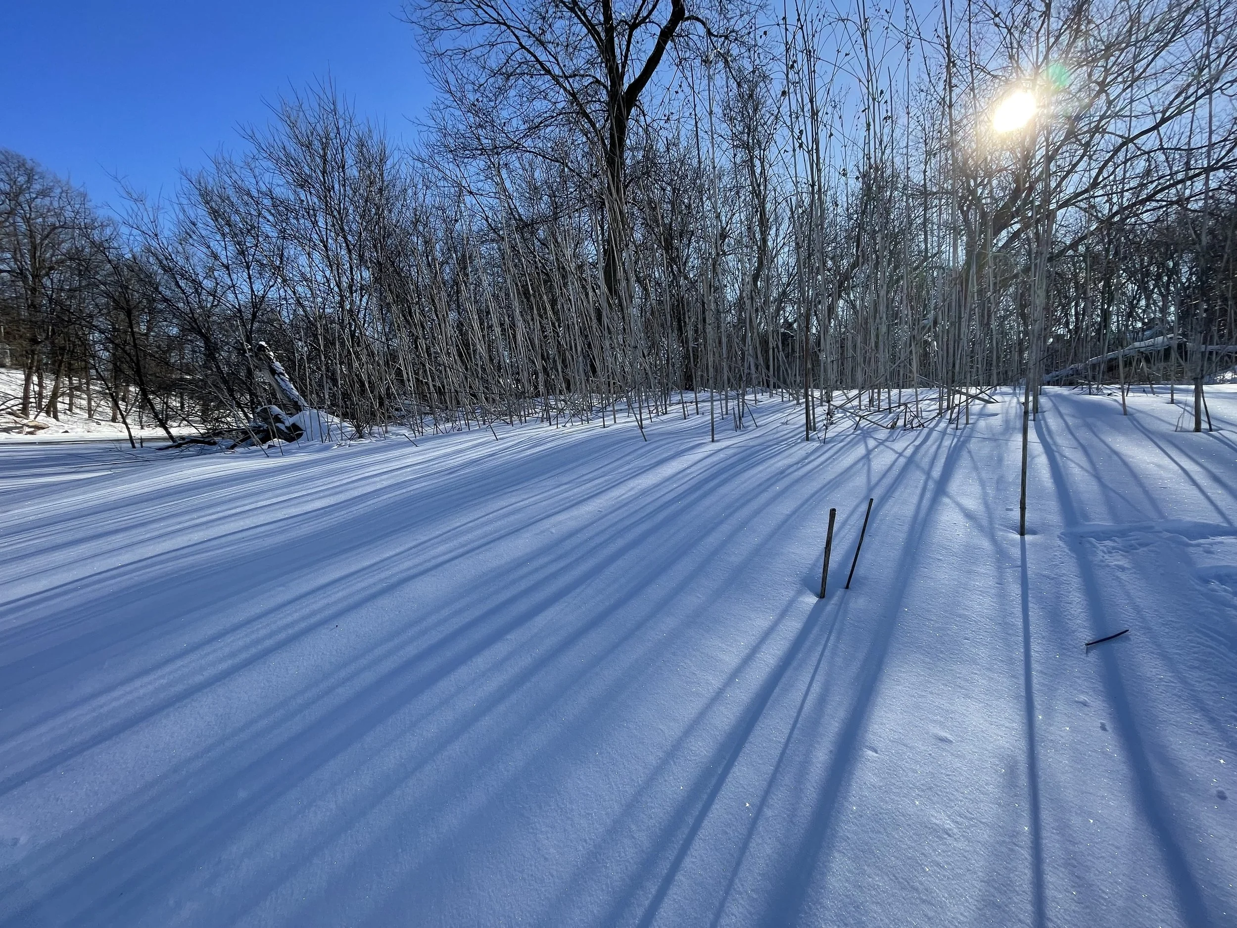
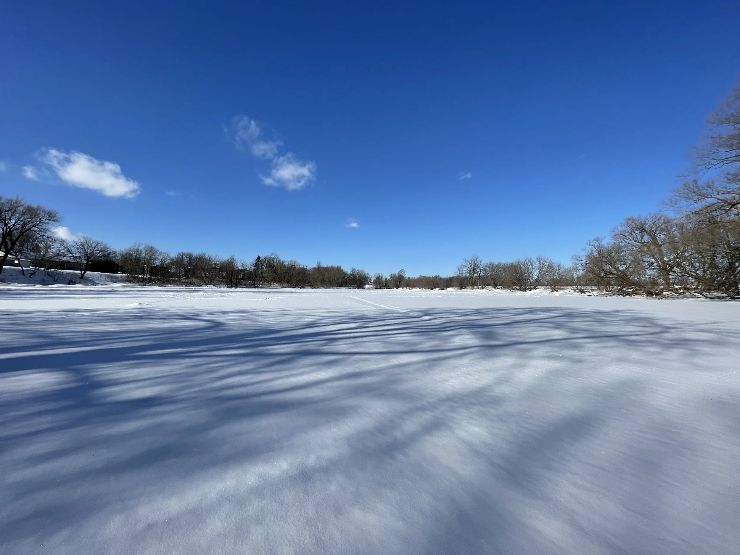
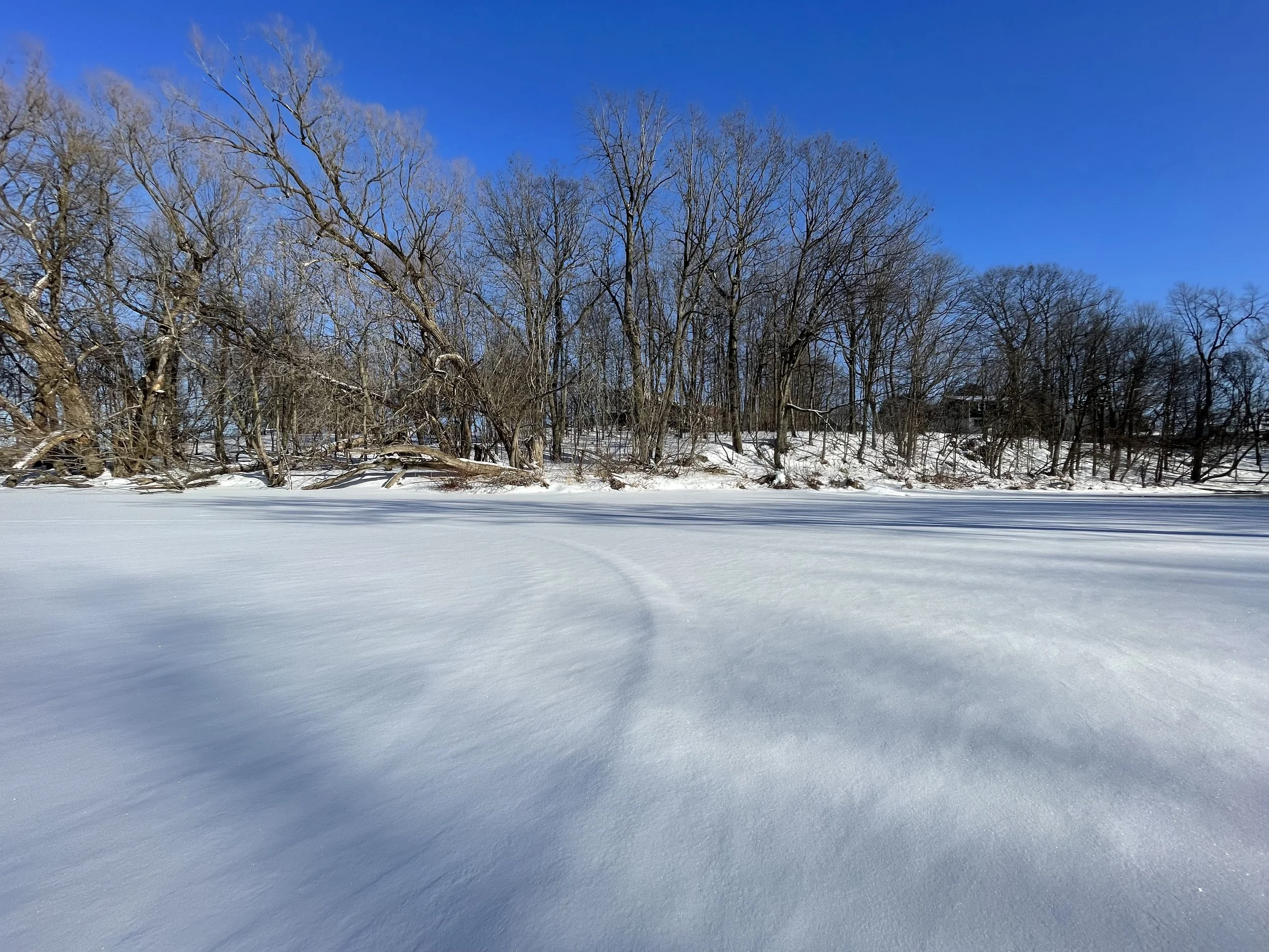
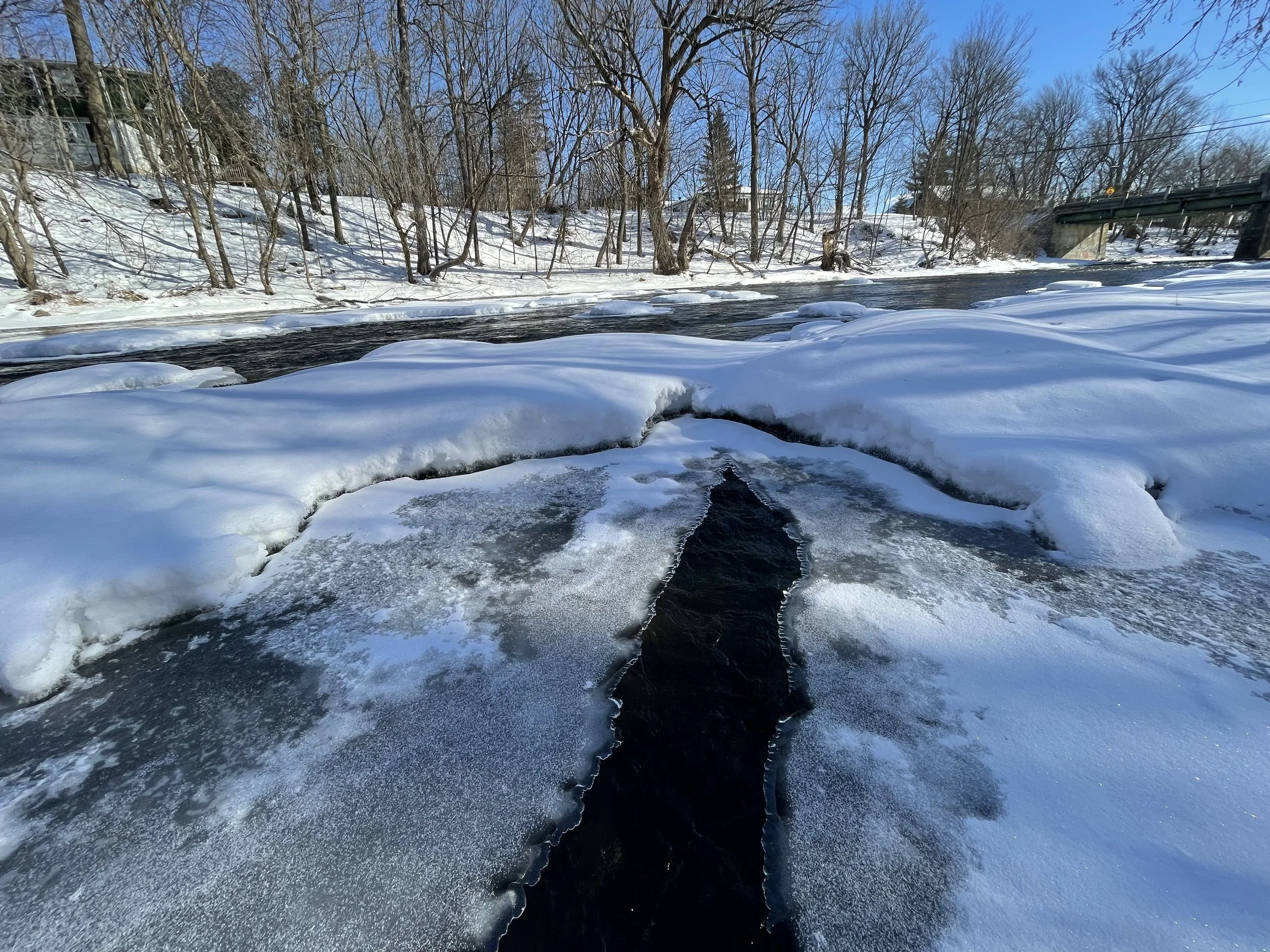
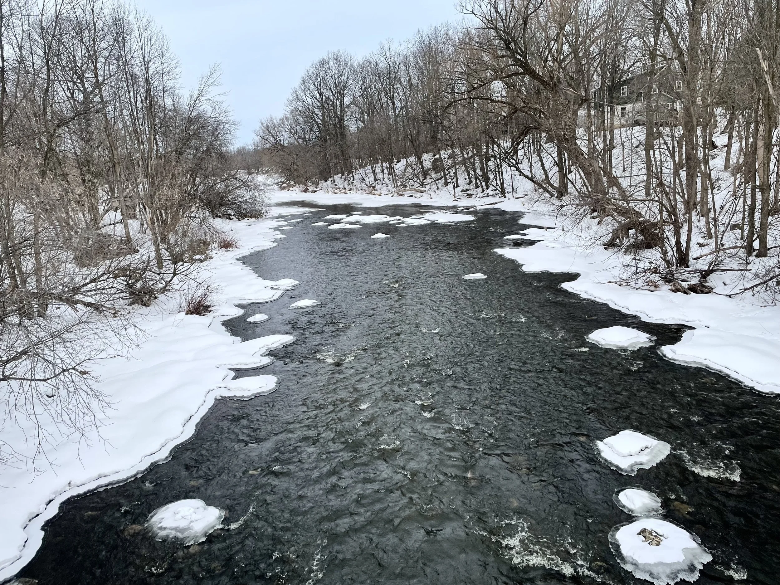
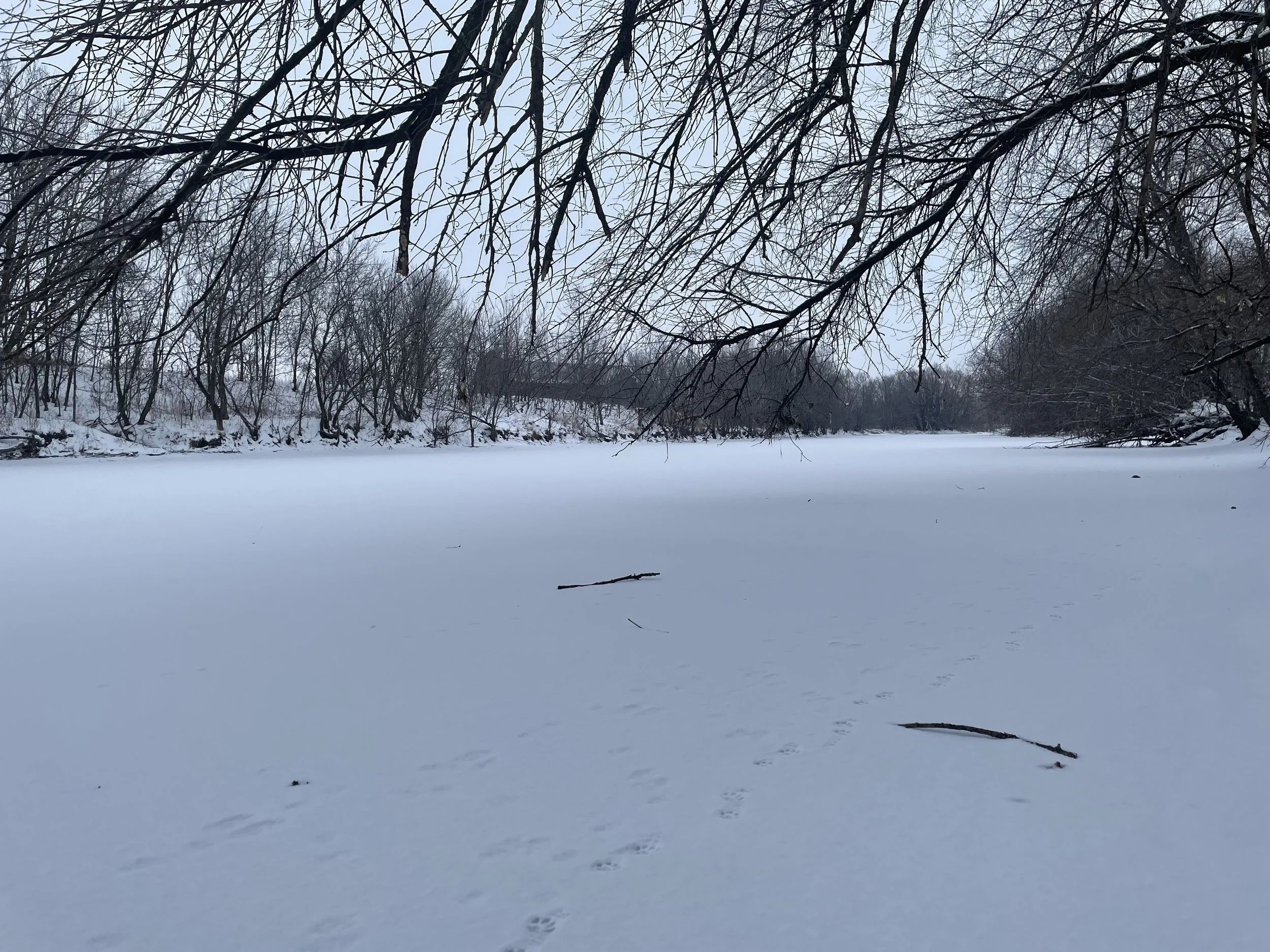
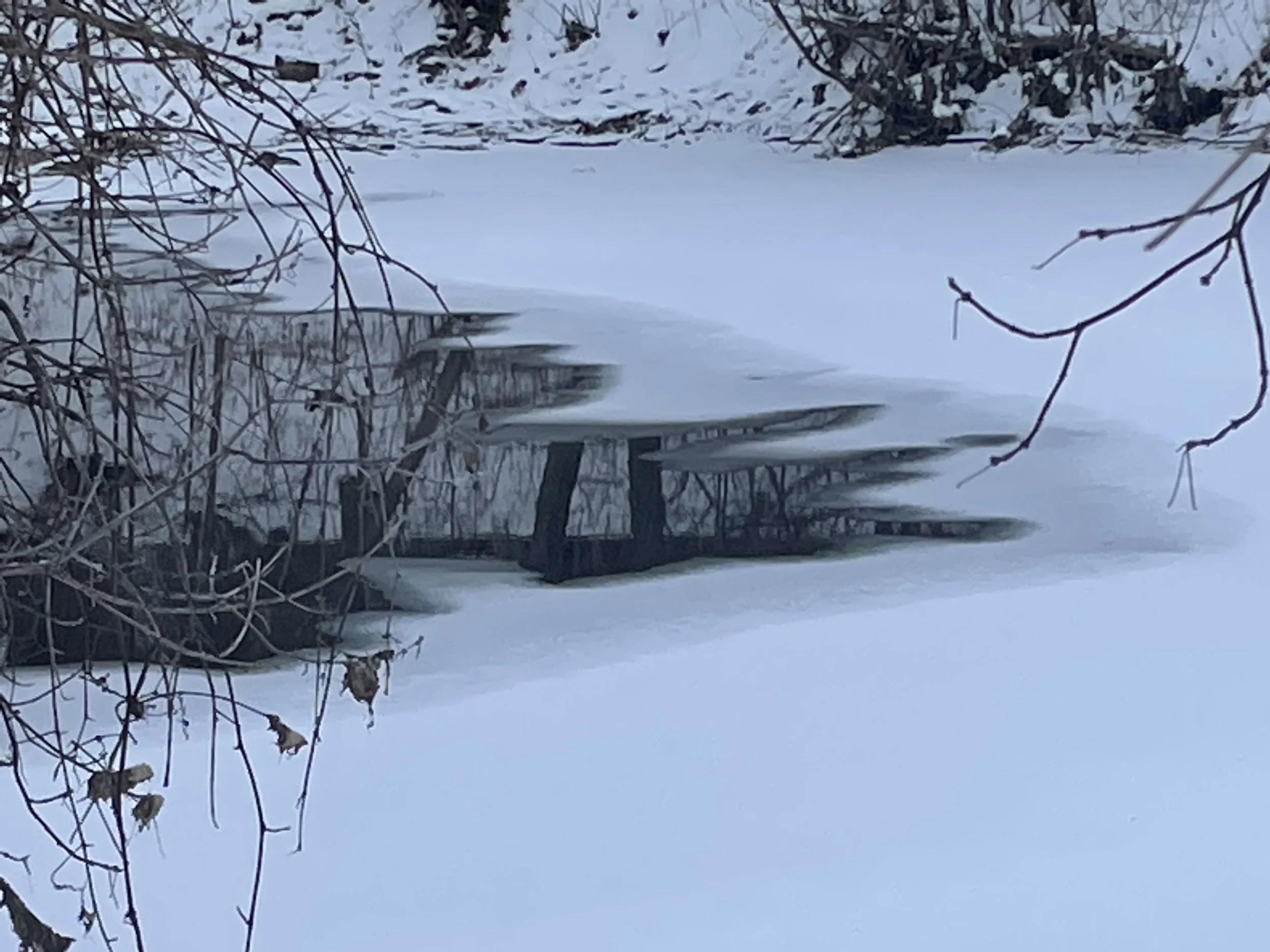
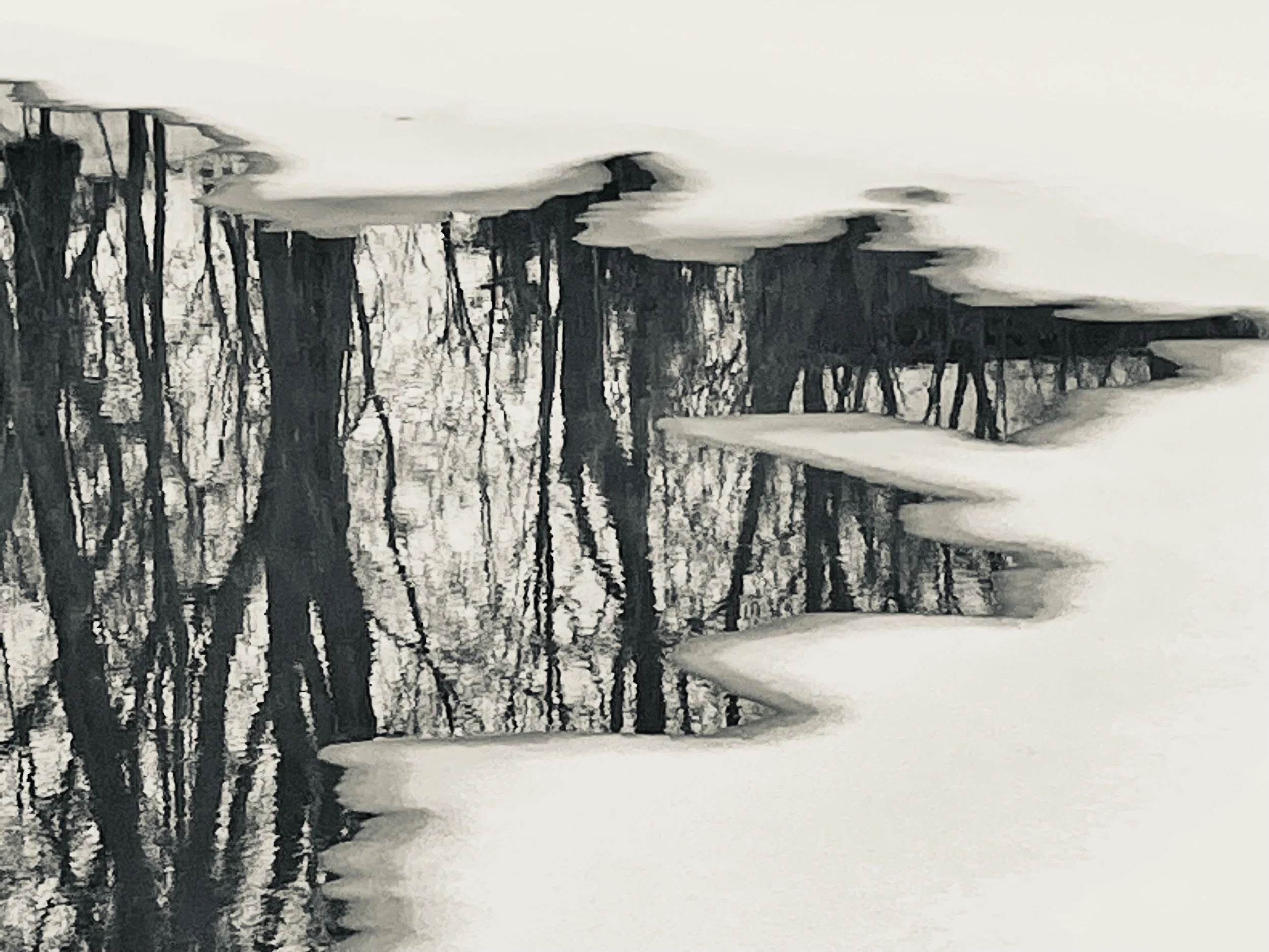
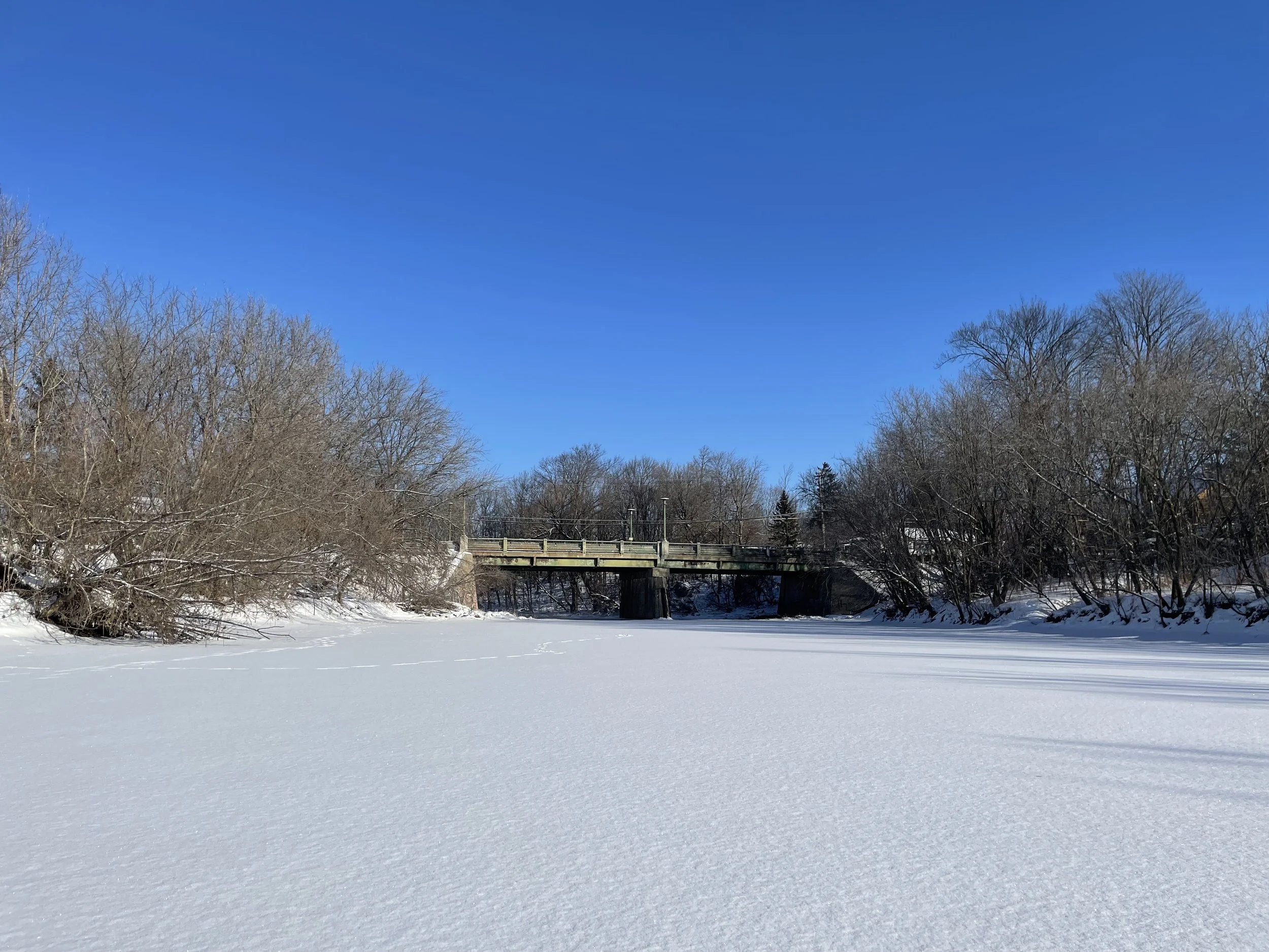
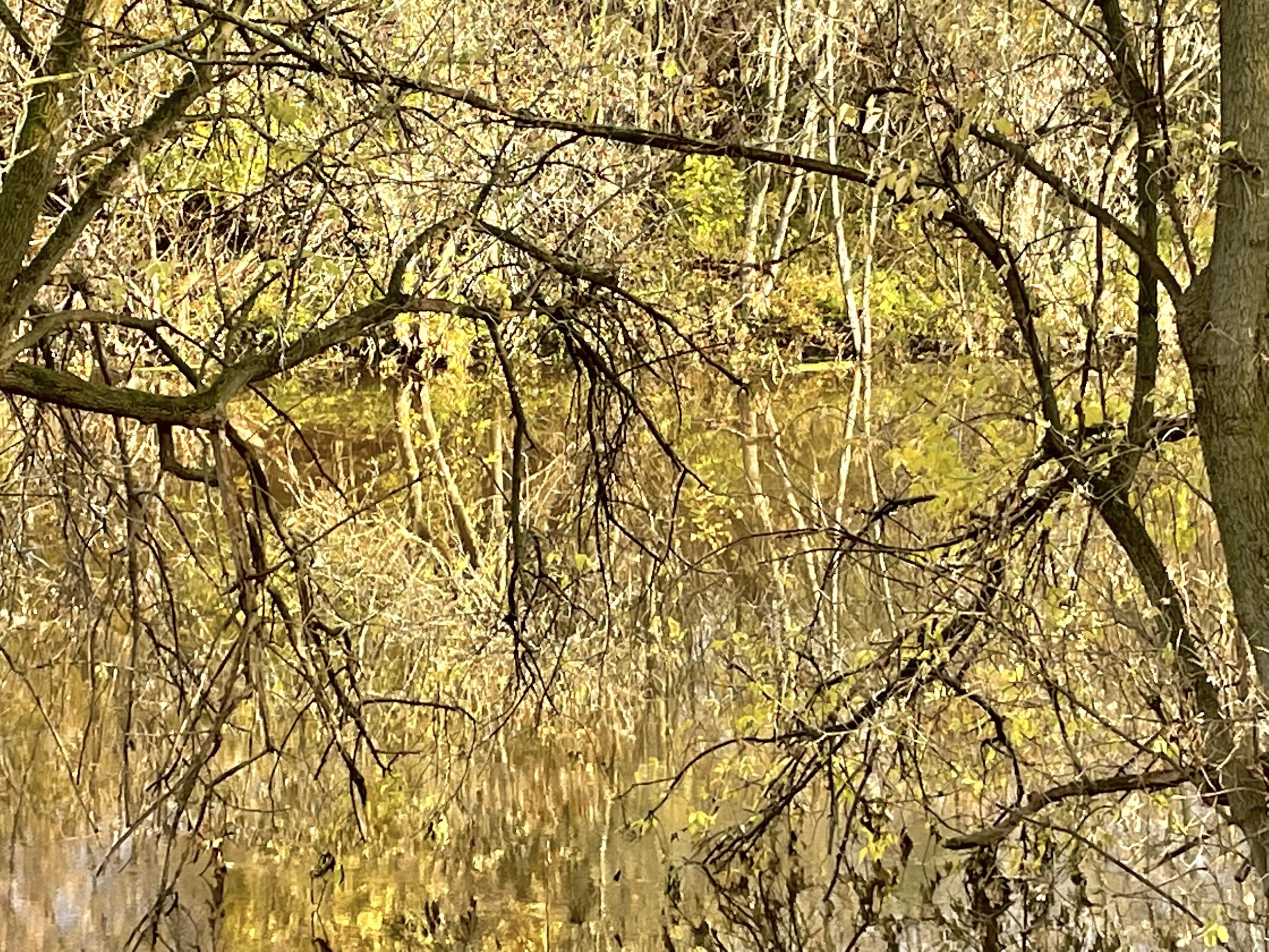
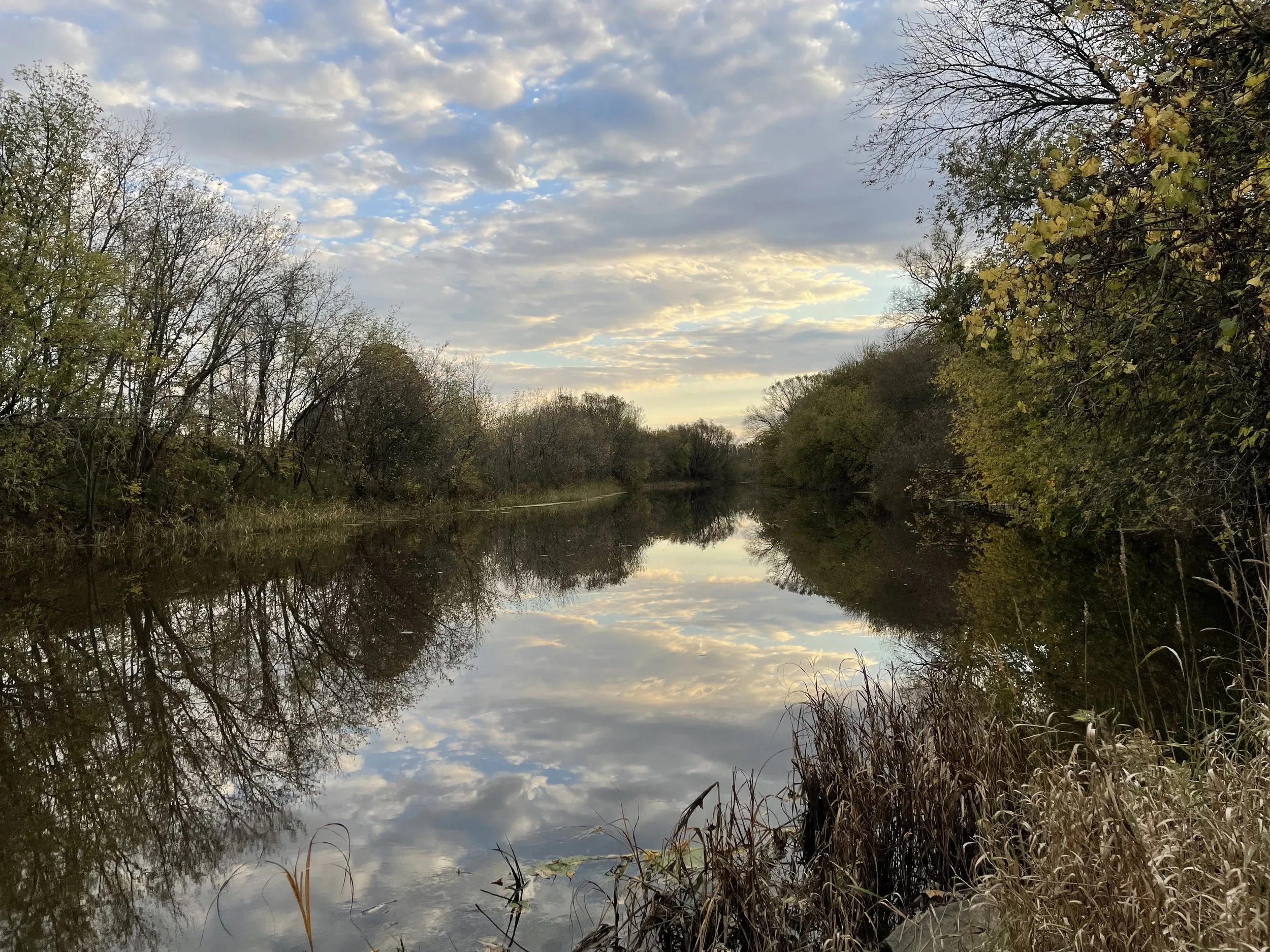
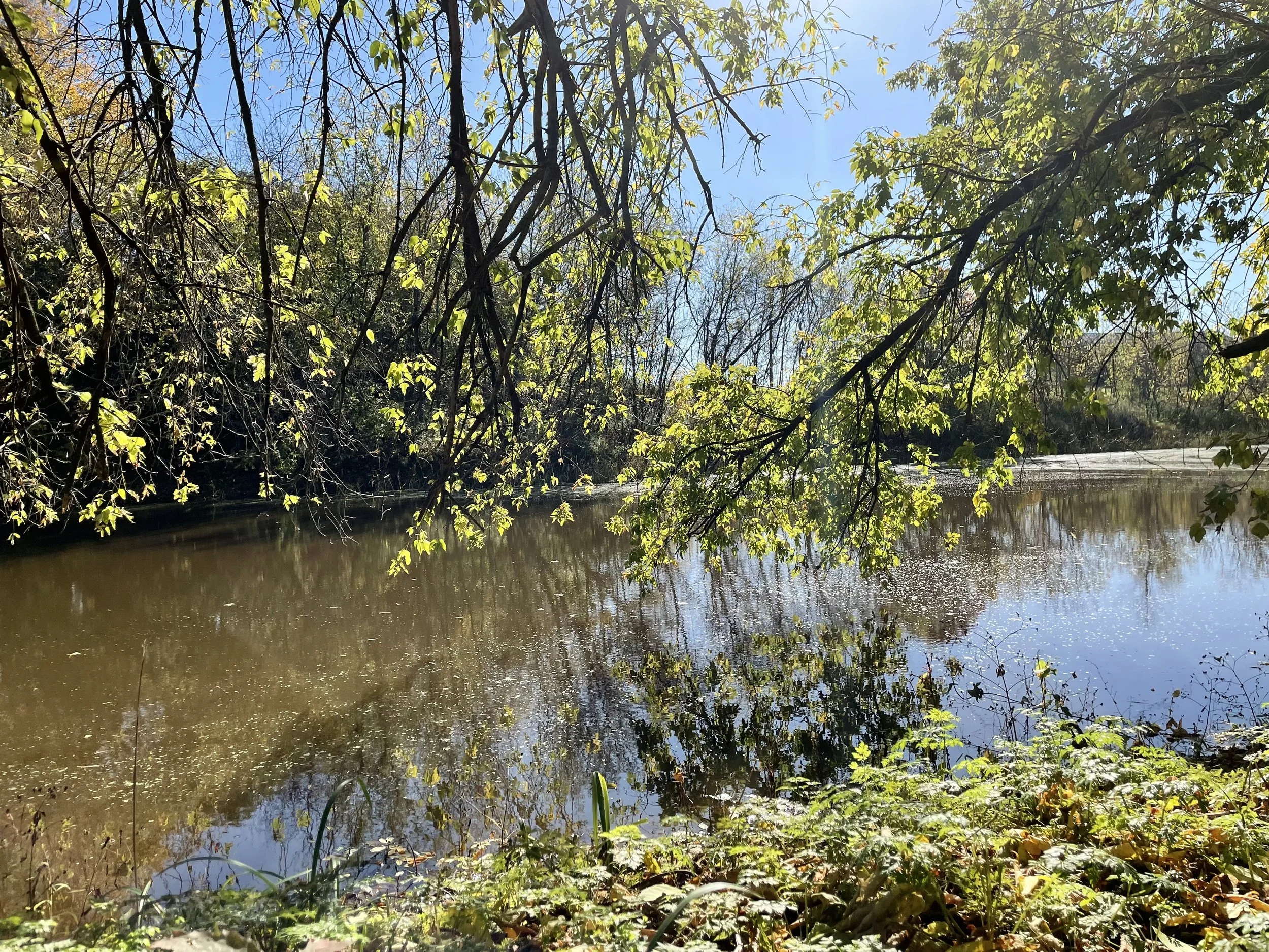
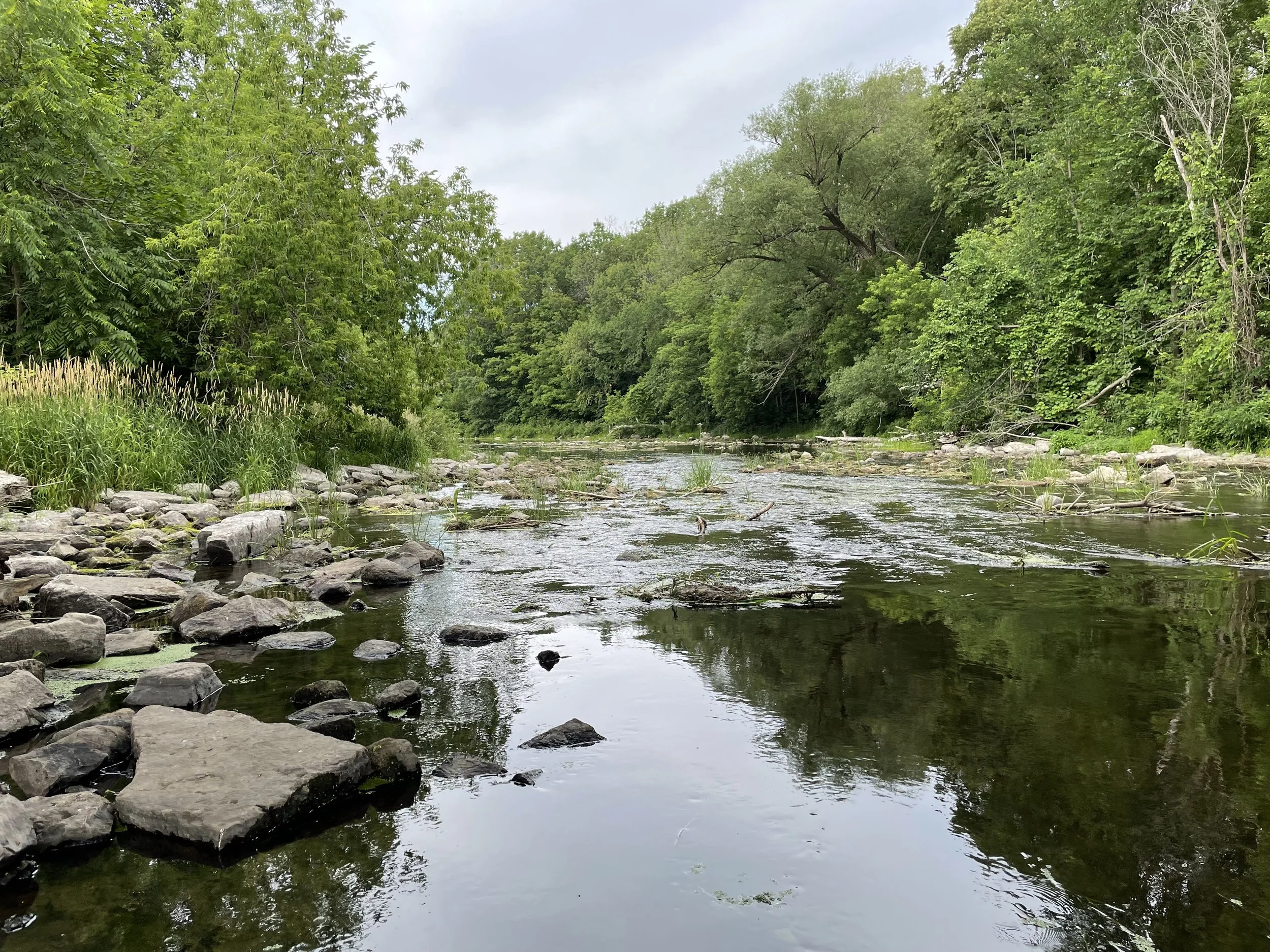
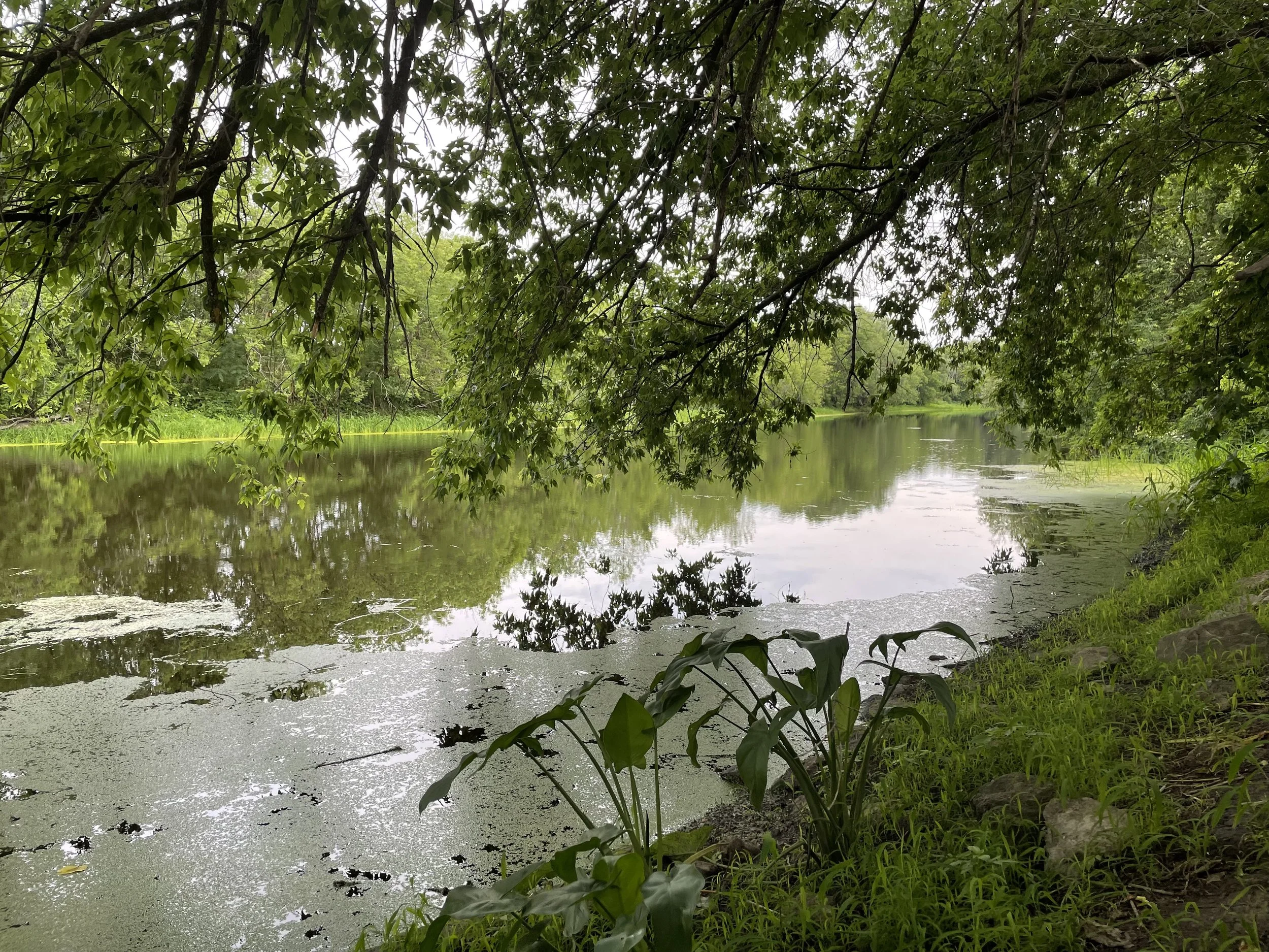
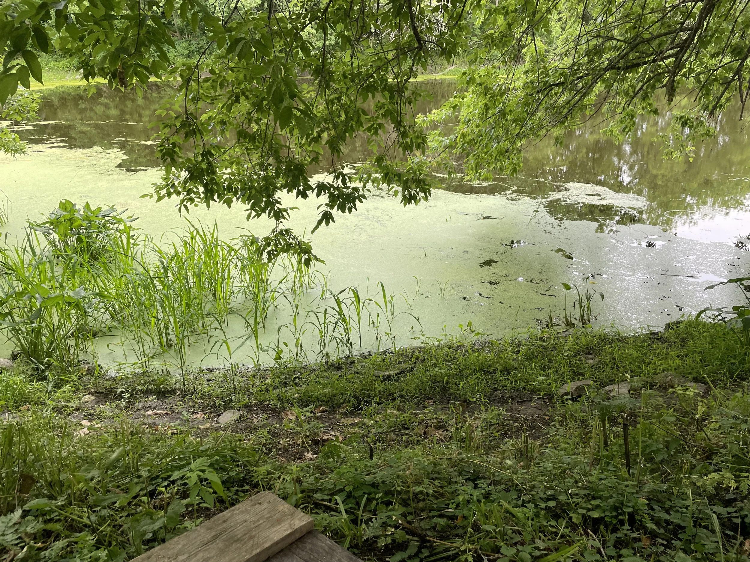
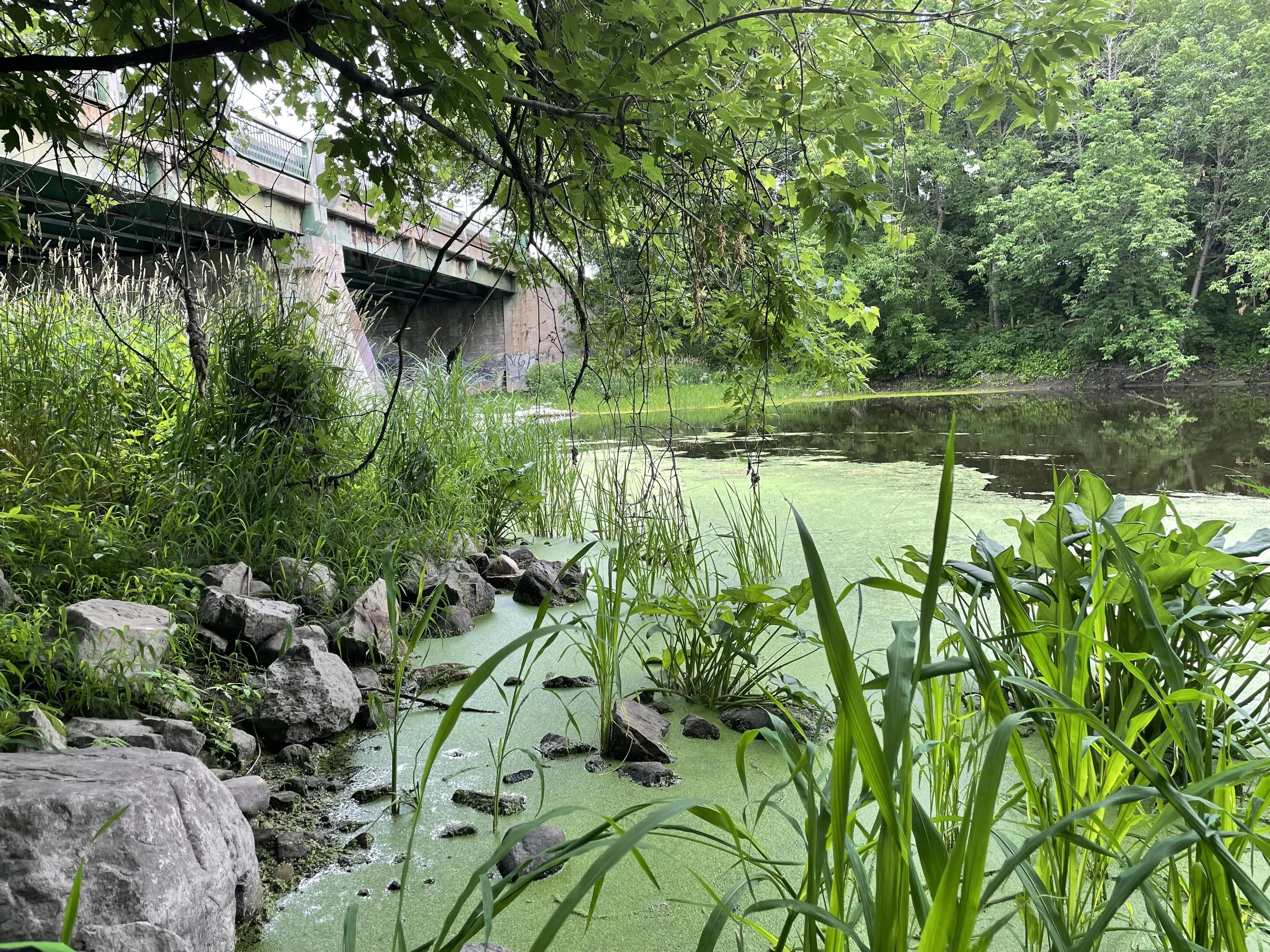
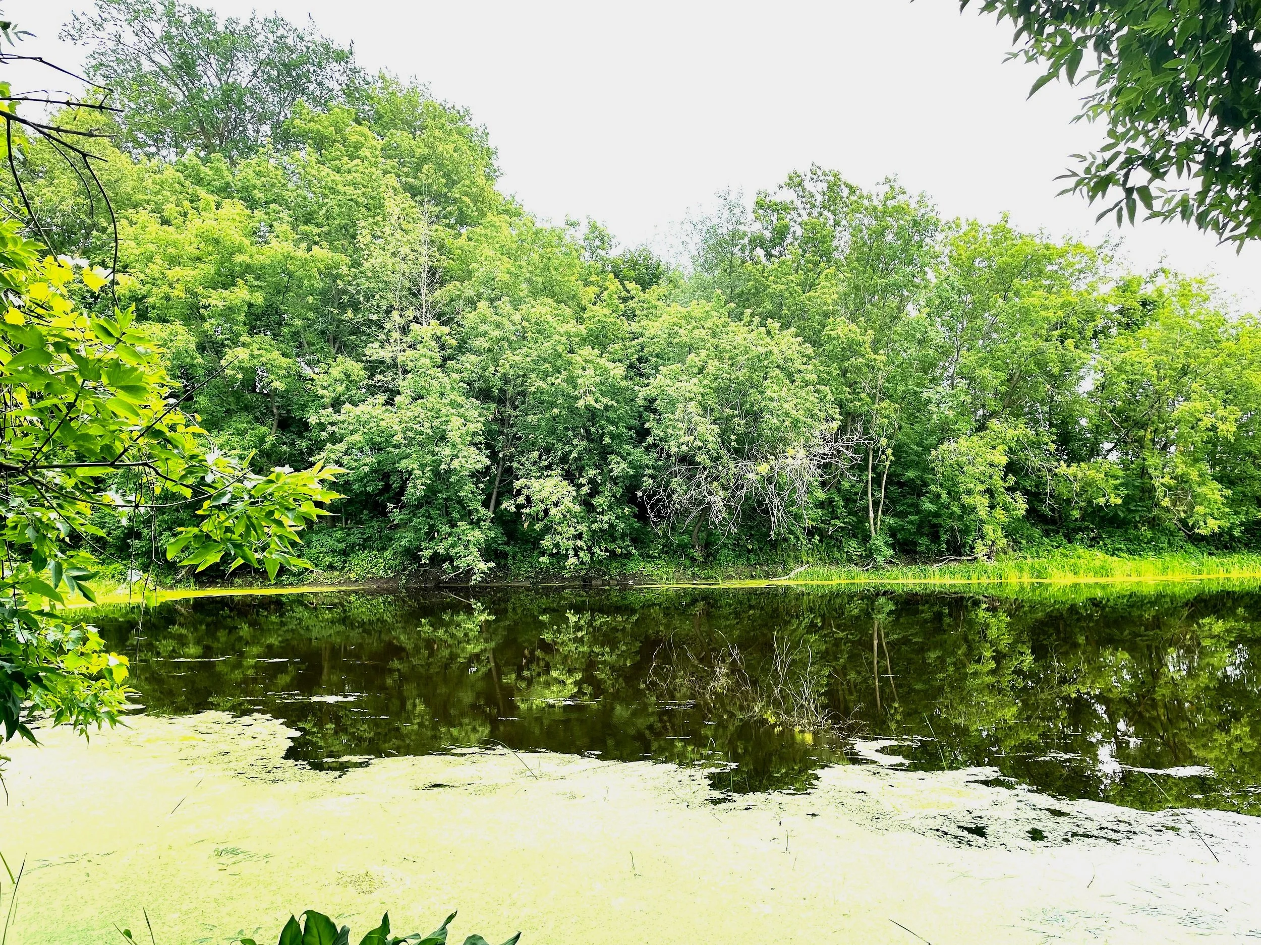
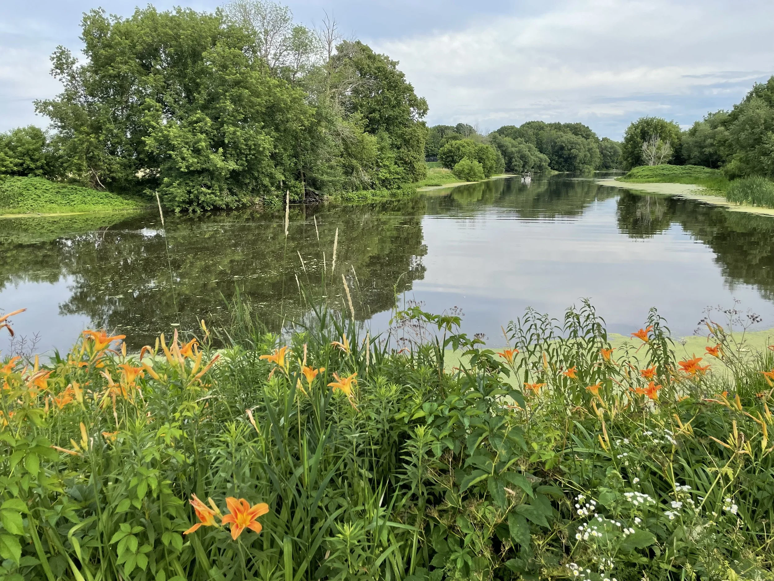
RĪPA is an experimental landscape portrait that follows the course of la rivière des Anglais as it flows sixty seven kilometres through established farmland in the Haut Saint Laurent Valley / Montérégie West area of southwestern Québec.
44°94’96”N, 73°79’71”W to 45°21’38”N, 73°83’05”W.

“Wenn du mich siehst, dann weine" - "If you see me, weep".
Hunger stone (German: Hungerstein) revealed by low water levels, Elbe river, Děčín, Czech Republic, 2017.
These stones were embedded into rivers during droughts to mark the water level as a warning to future generations that they will have to endure famine-related hardships if the water sinks to this level again.
RĪPA01: Research 022, 023
Digital video, (12:13)
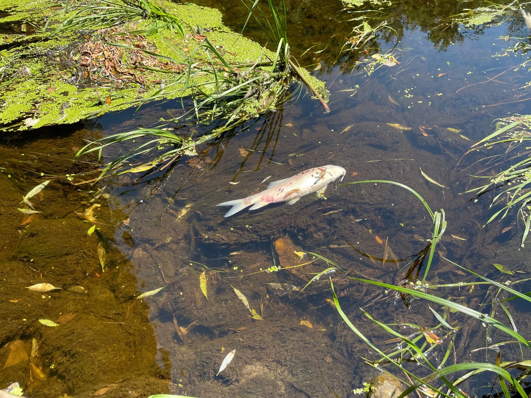
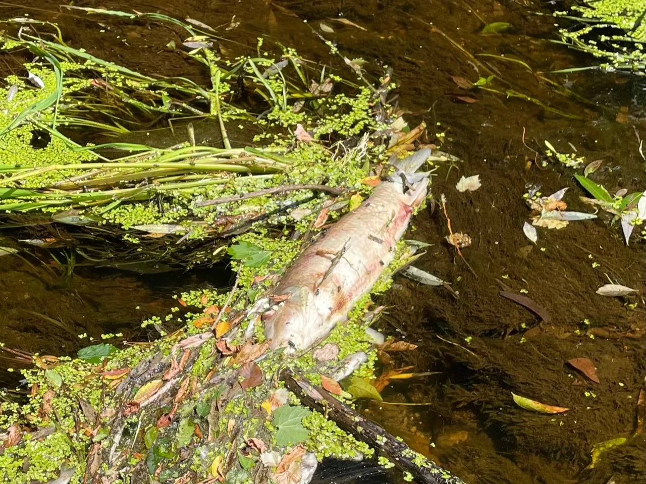
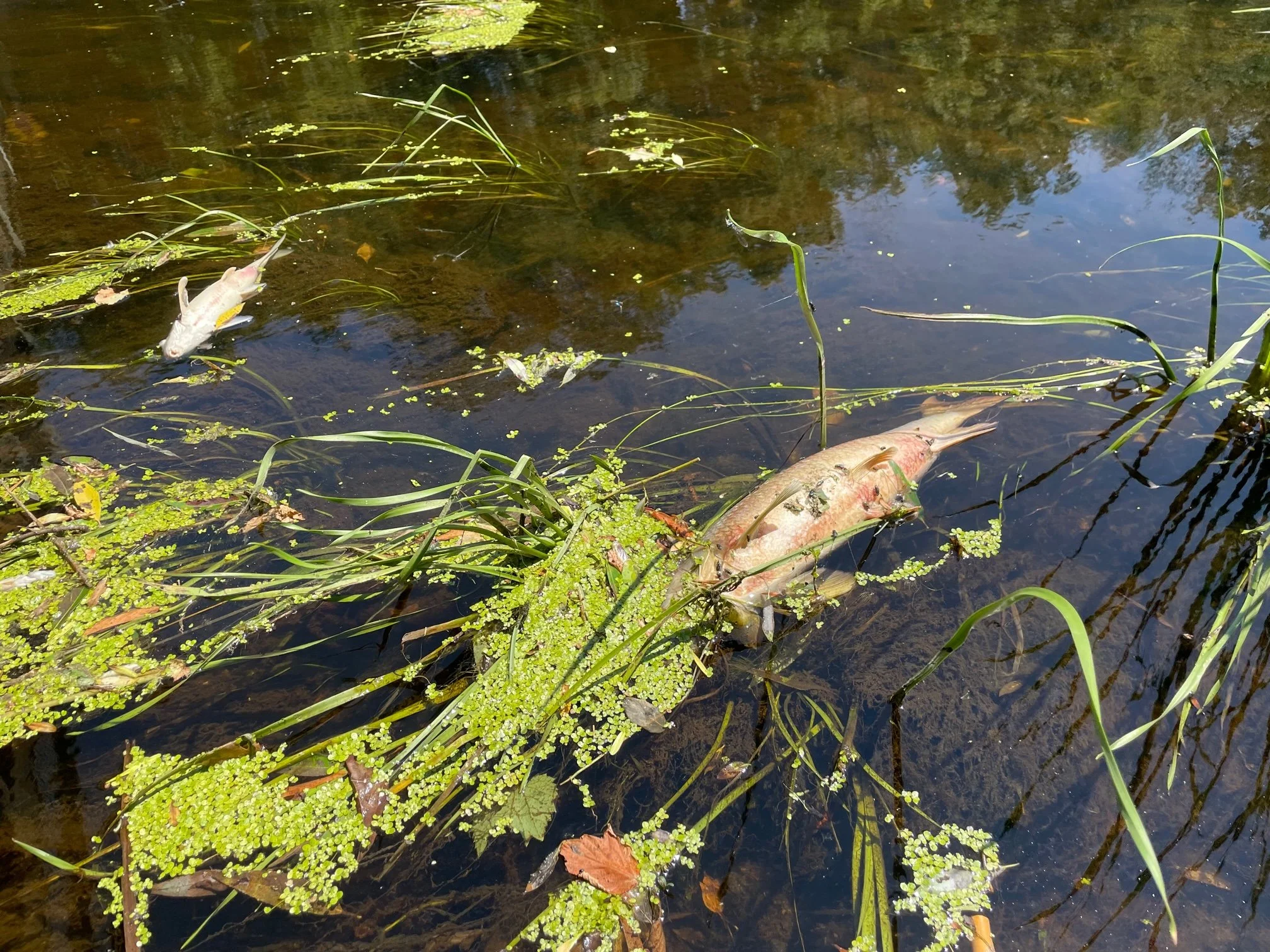
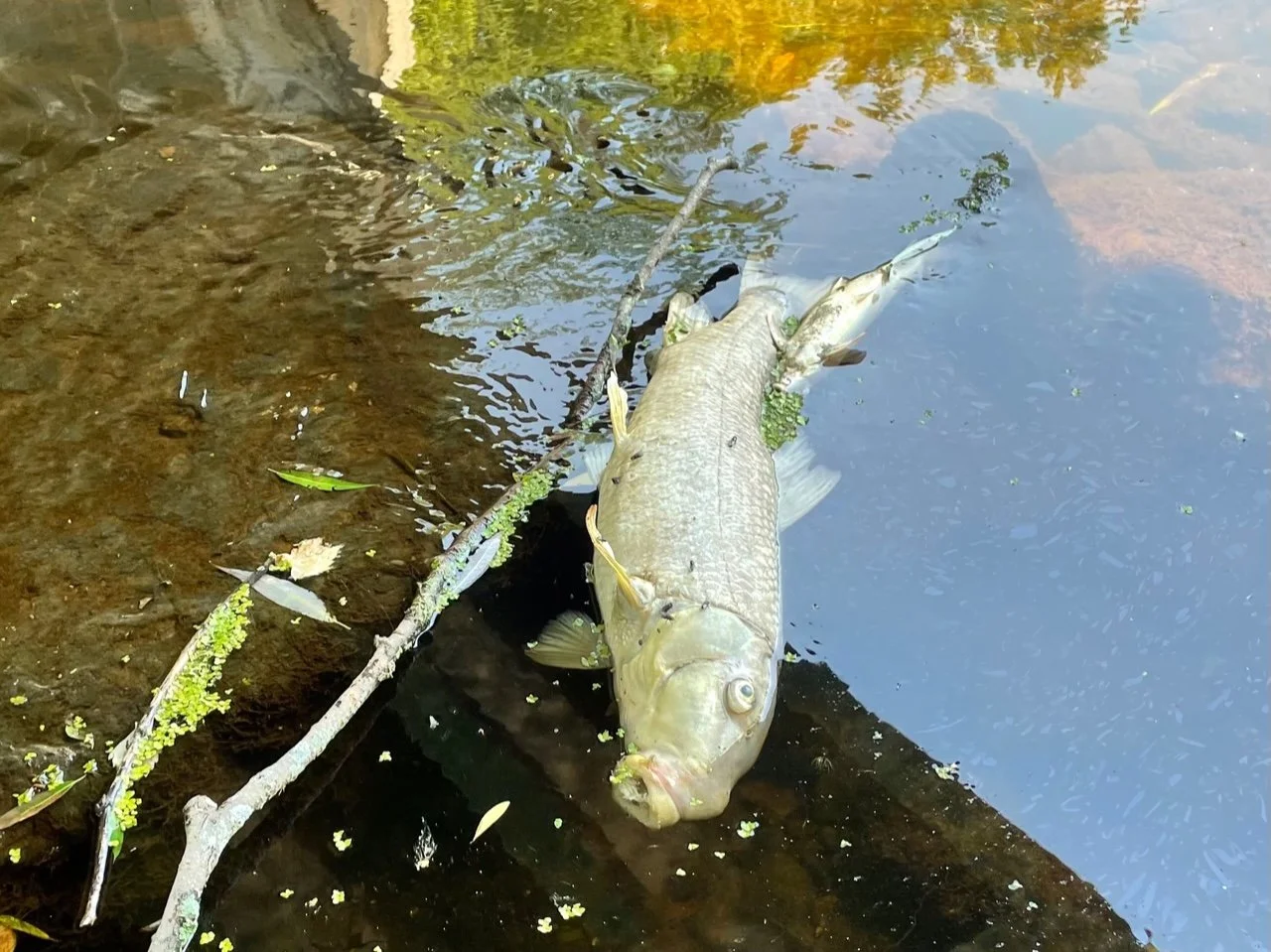
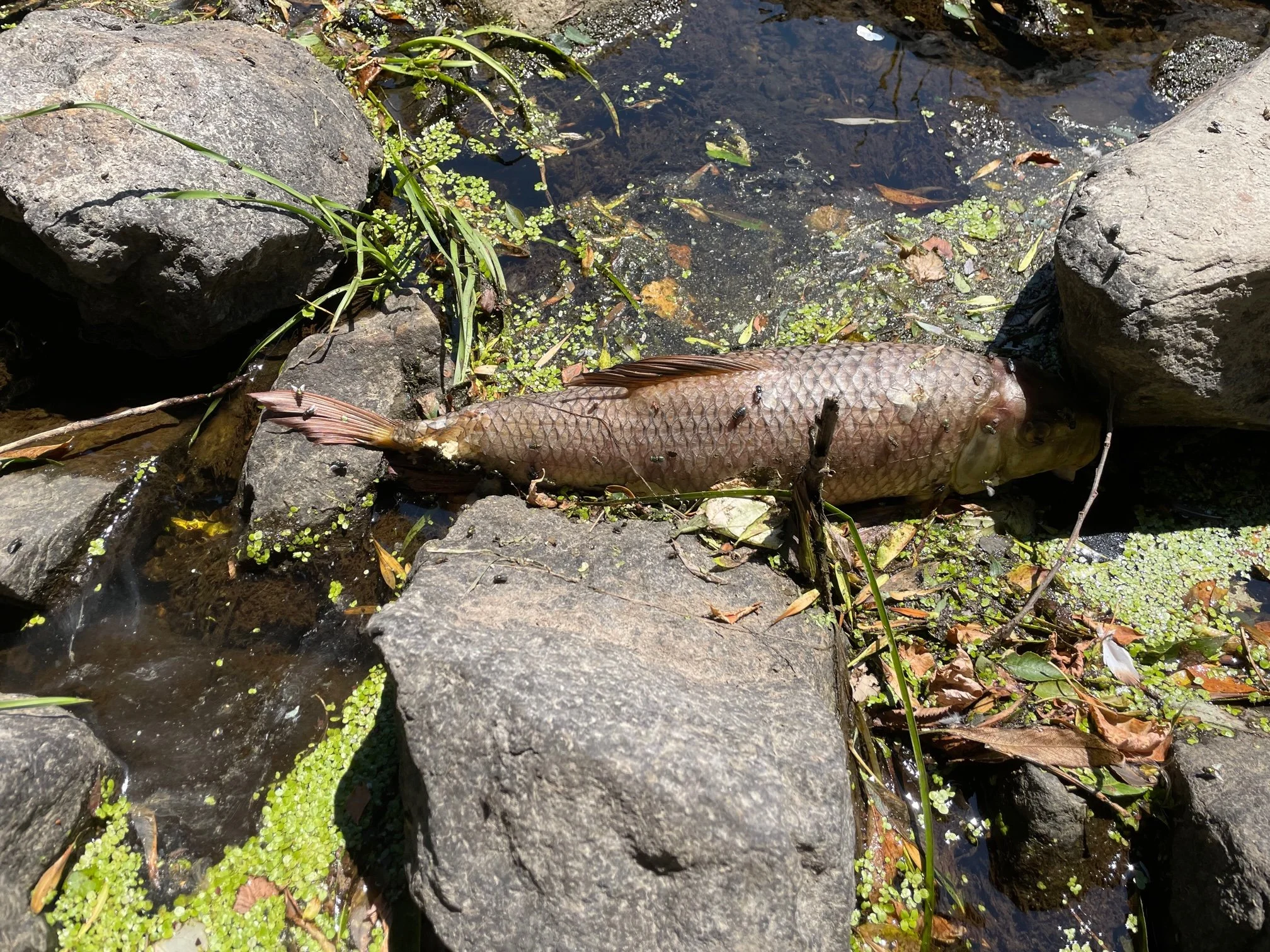
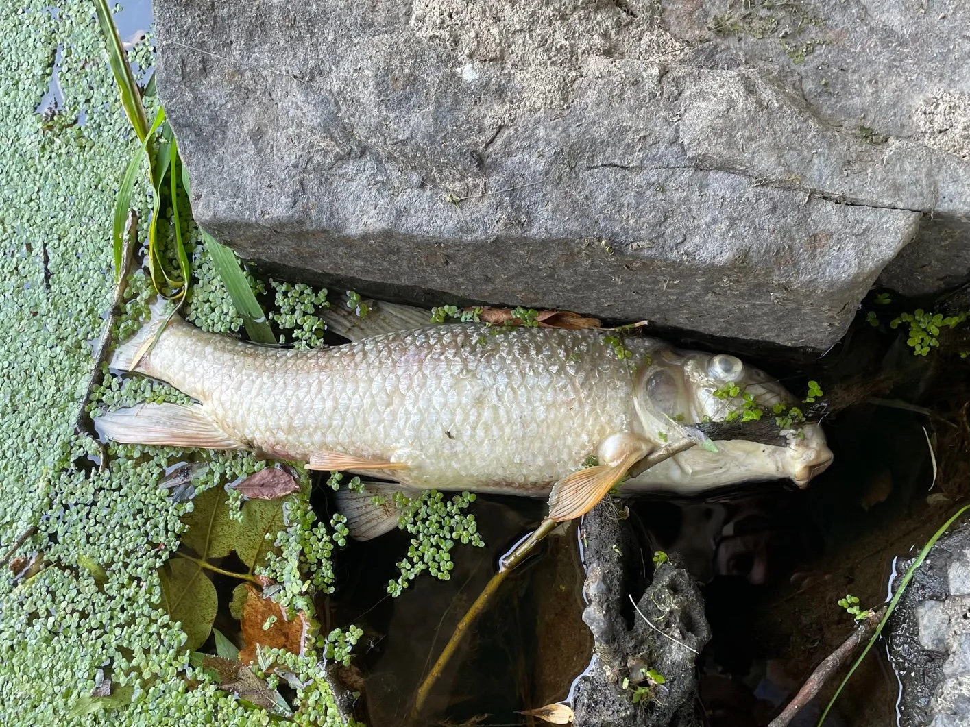
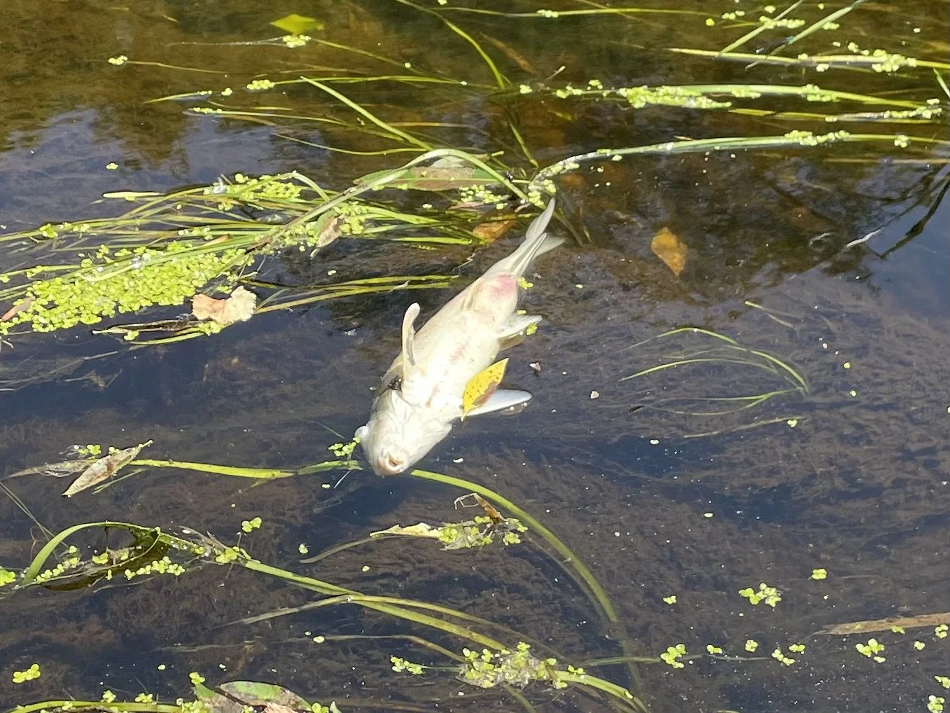
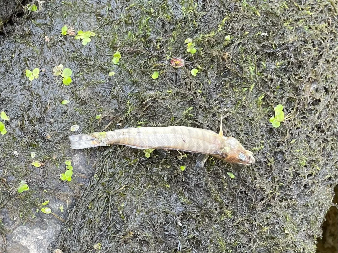
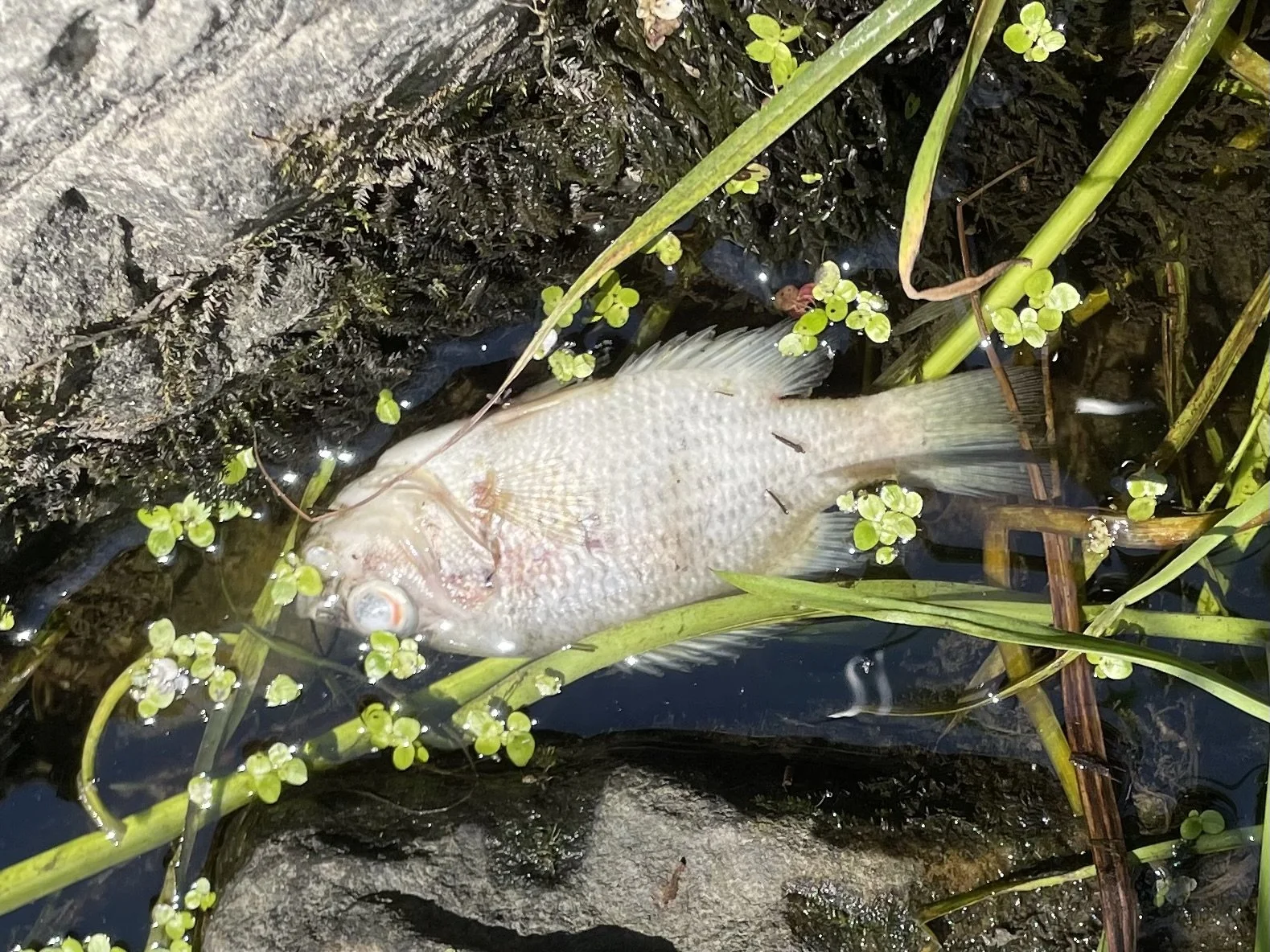
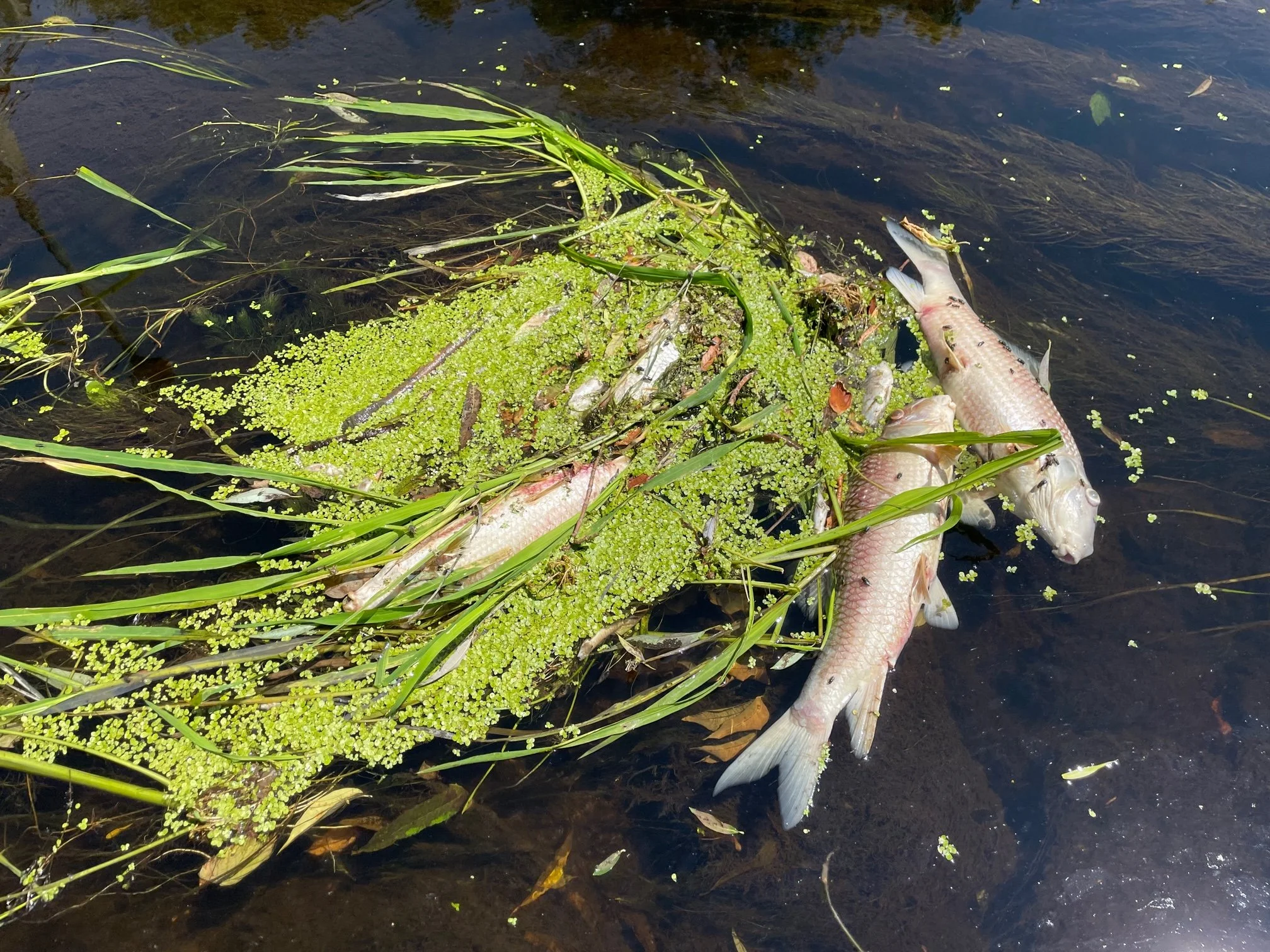
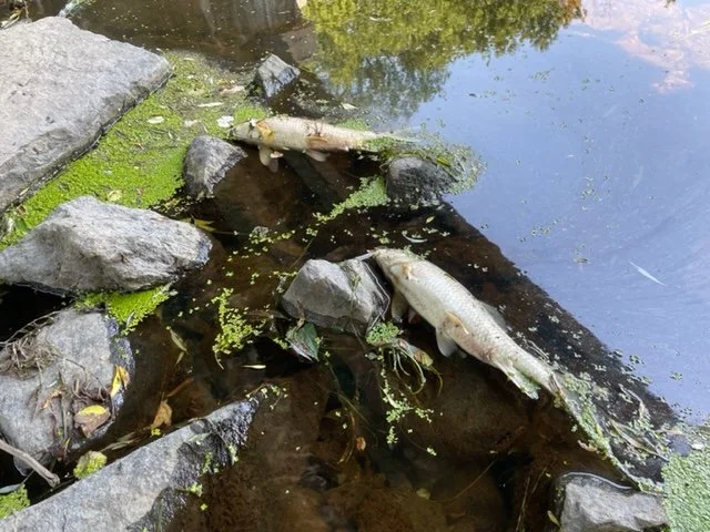
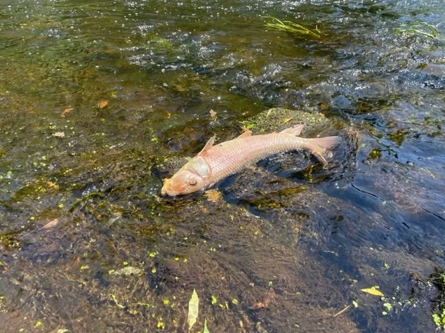
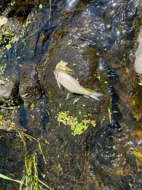
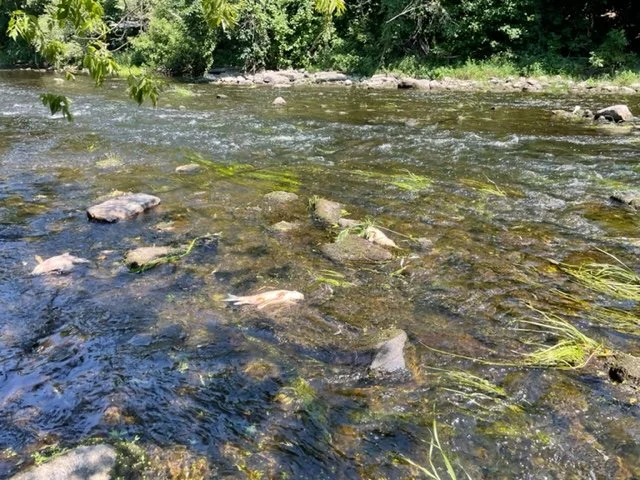
Research material filmed on the Rivière des Anglais including the historic mass fish die-off event of July 14, 2022.
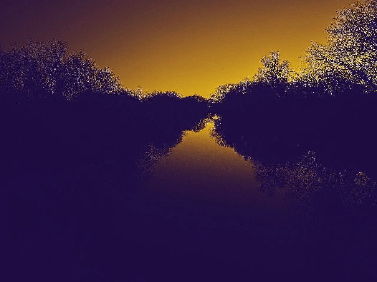
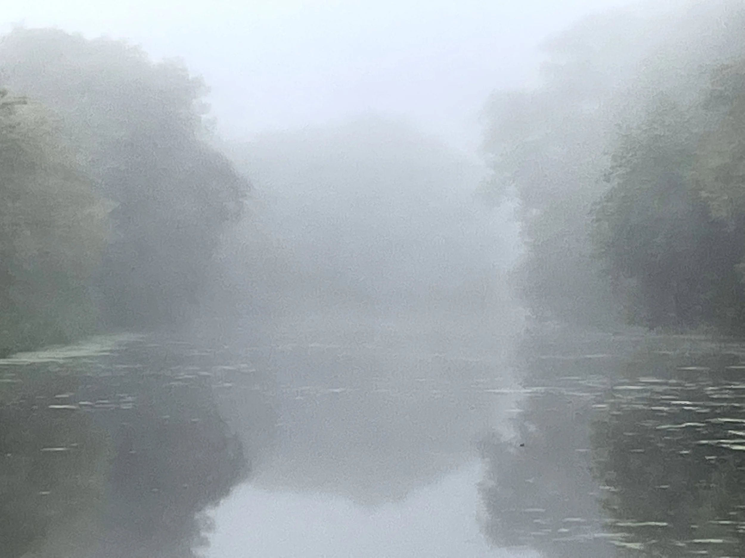
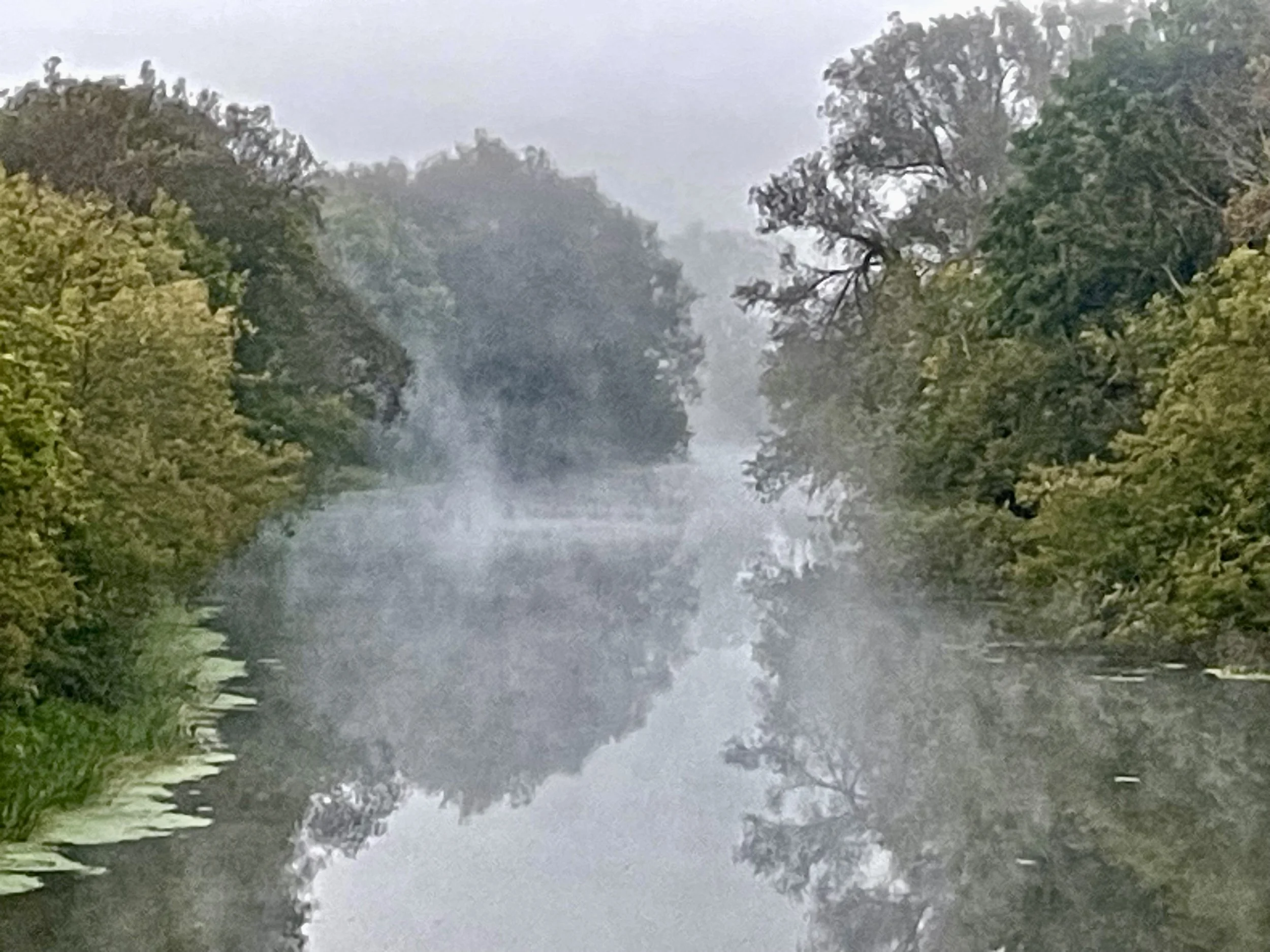
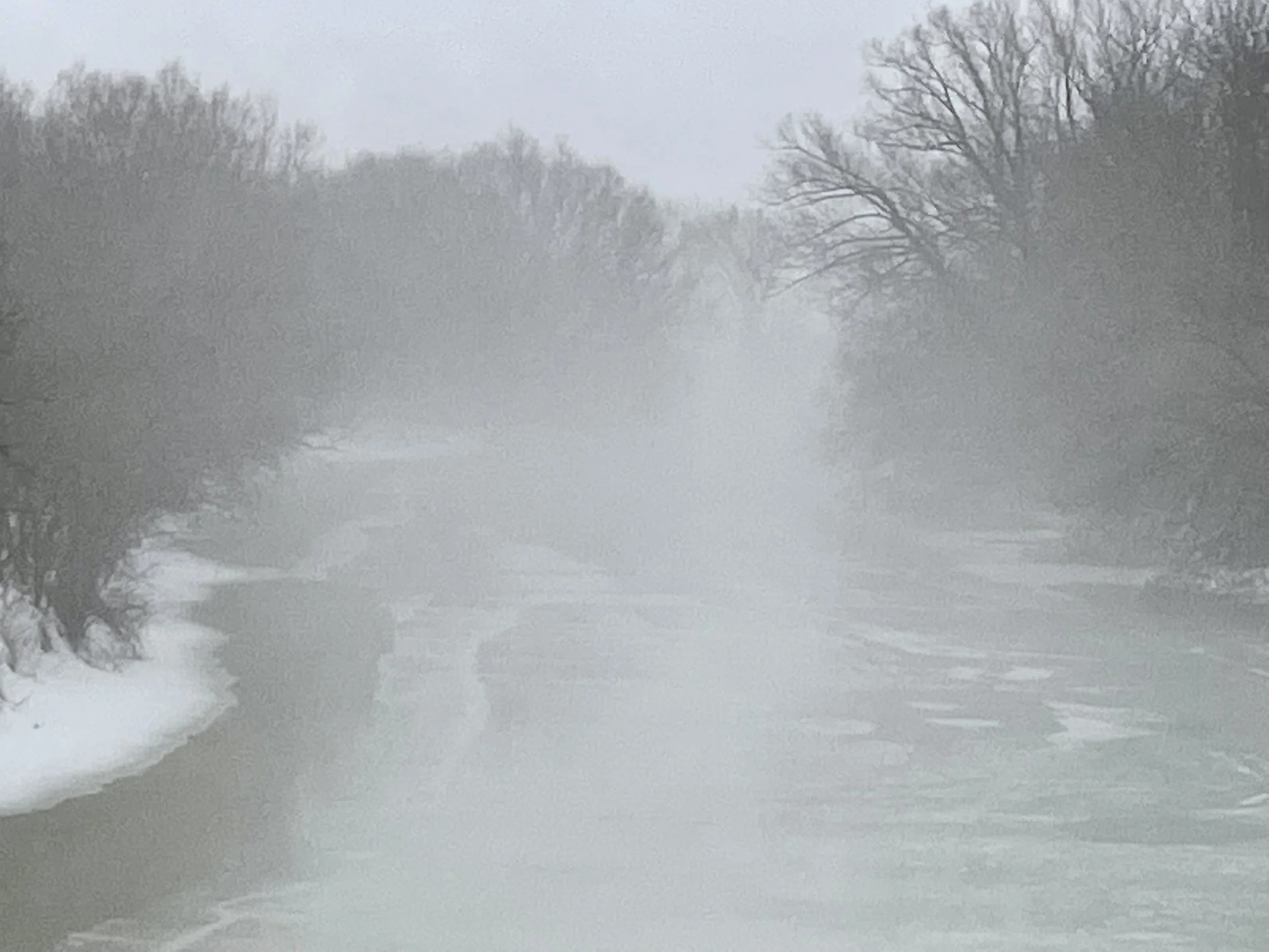
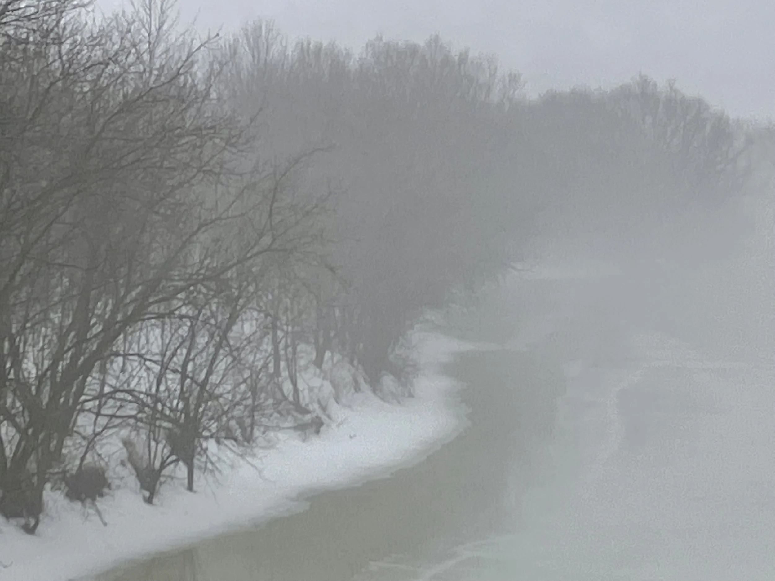
03: RĪPA: MISTY LIGHT MIX 023
Digital video, (04:59)
August 28, 2023 - 6h00.
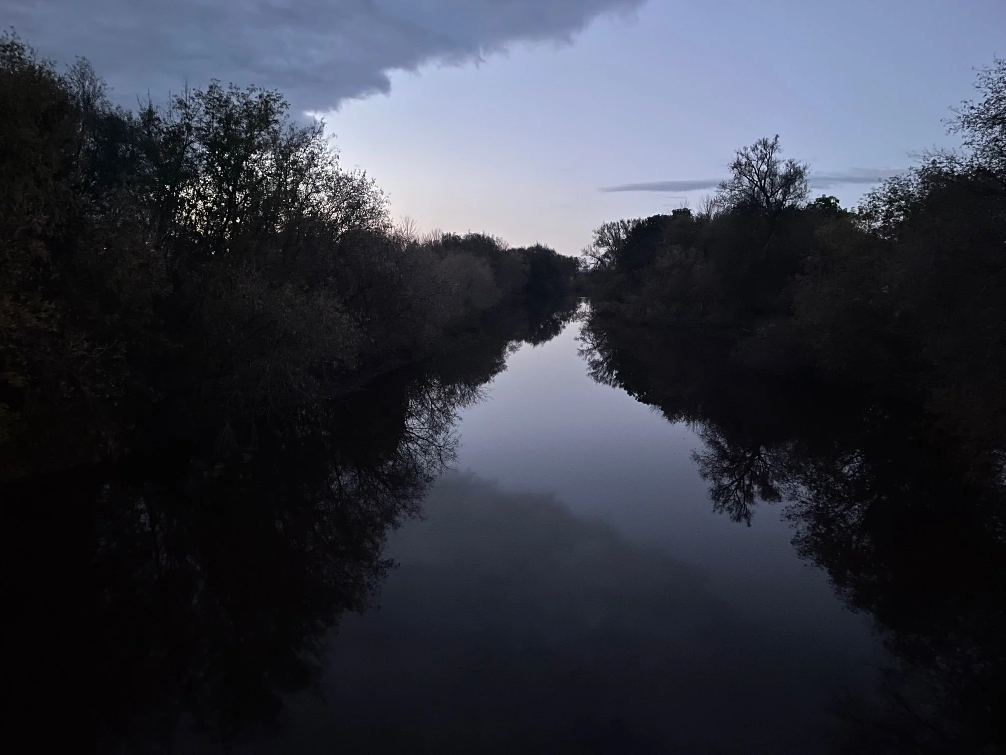
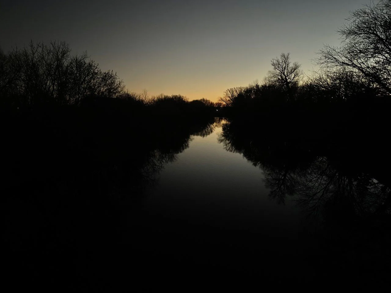
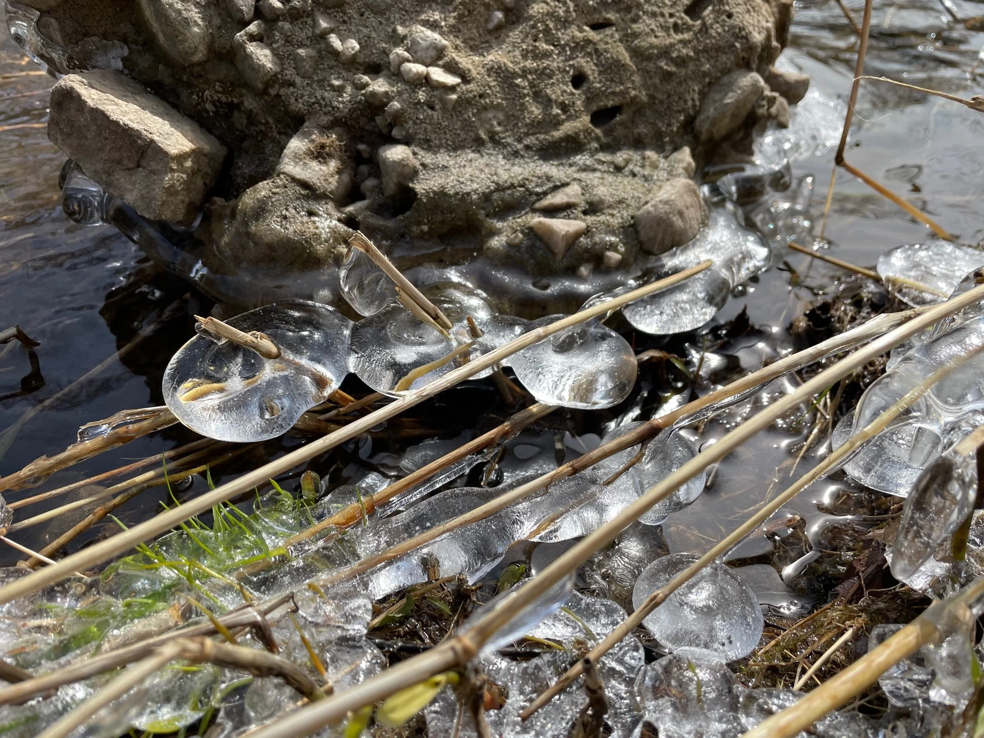
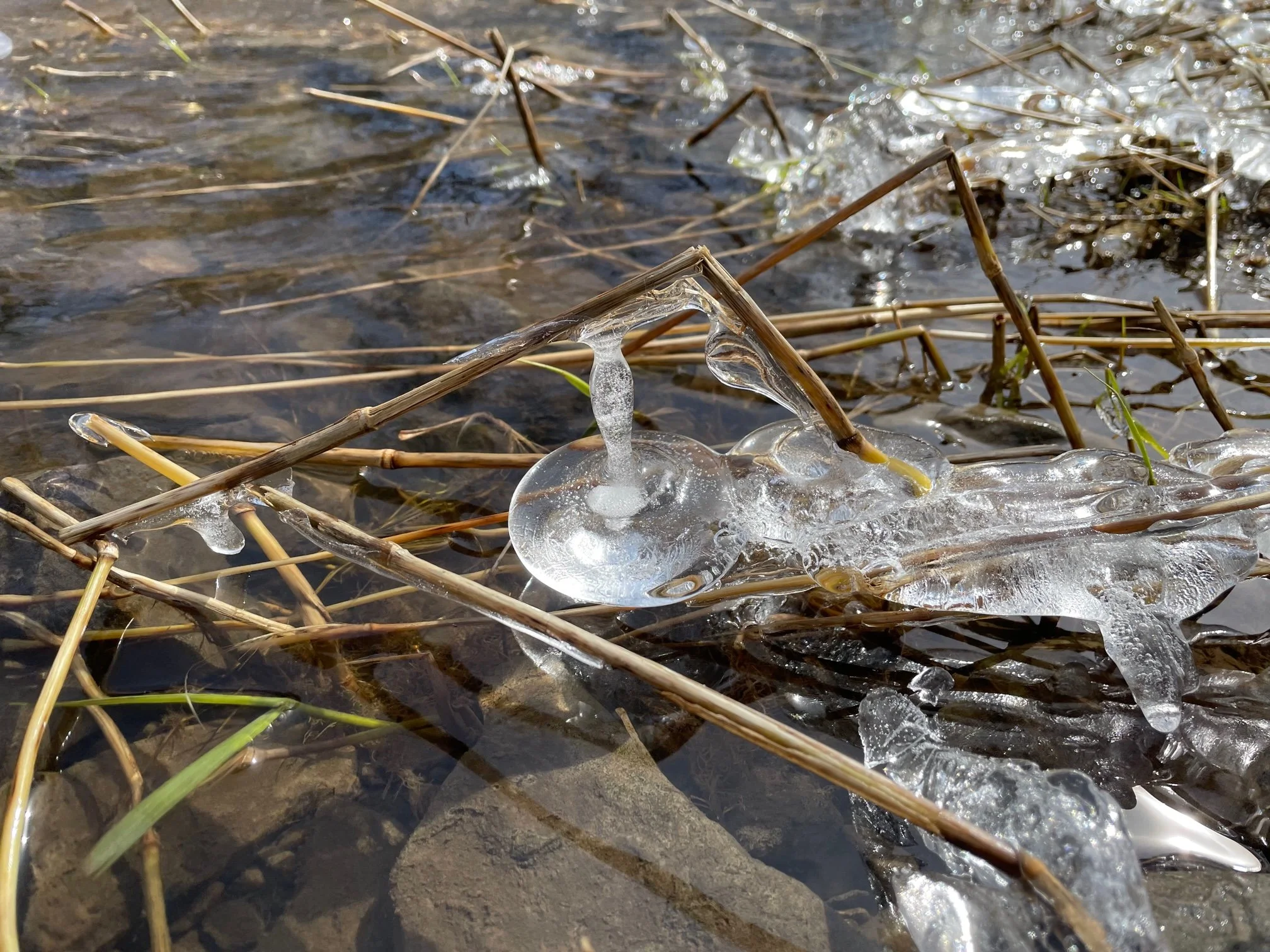
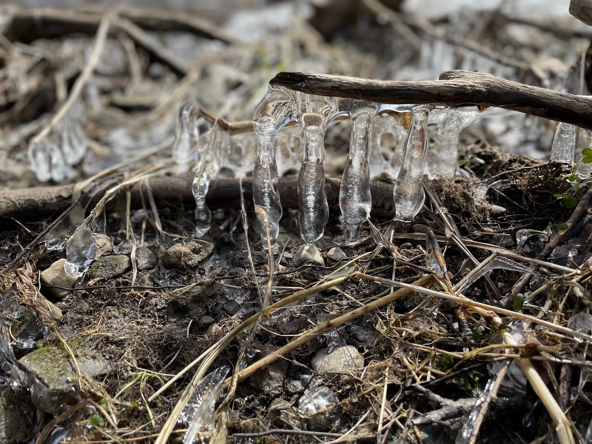
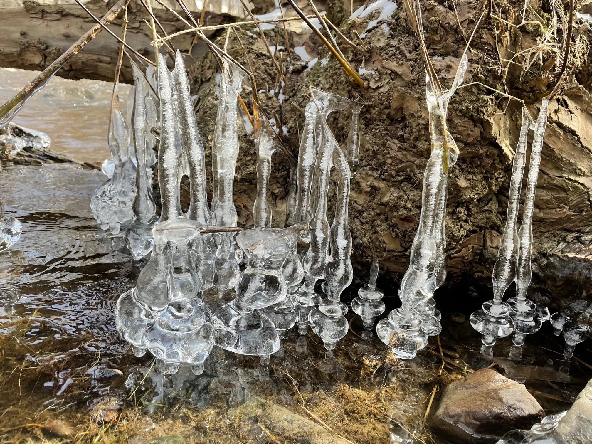
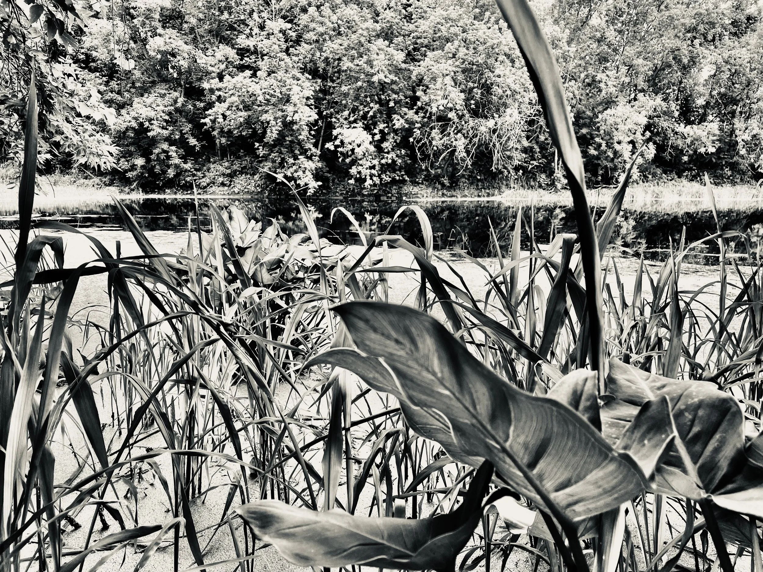
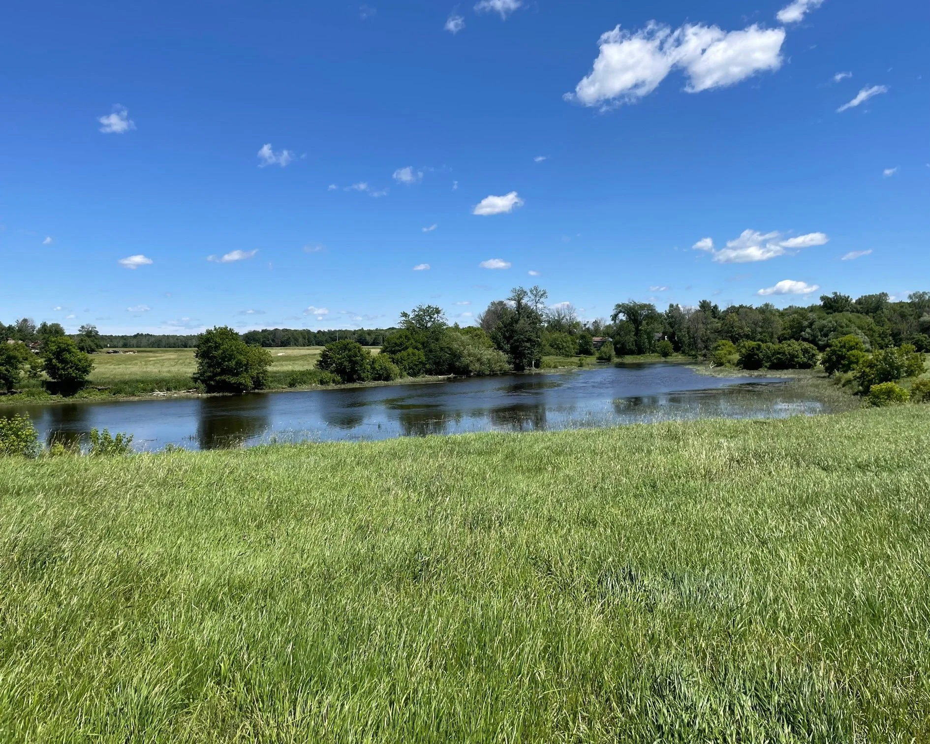
Species at risk in the watershed of the Rivière des Anglais:
Butternut or white walnut
Pitch Pine
White Oak
Swamp white oak
Estuarine wild rice
Black maple
Canada lily
Marsh pepper smartweed
Hidden-fruit bladderwort
Downy rattlesnake-plantain
Case's Ladies'-tresses
Wild garlic
Channel darter
American eel
Yellow bullhead
Mountain Dusky salamander
Dusky salamander
Spring salamander
Four-toed salamander
Striped Chorus frog
Wood turtle and Common snapping turtle
North American Ringneck snake
Smooth green snake
Eastern Milk snake
Red-headed woodpecker